Role of First Responder Drones in Emergency Response Operations in 2023

In the modern era, there has been a steep rise in the use of unmanned aerial vehicles (UAVs), also known as drones. The use of drones as first responders is one such area that is quickly transforming emergency response operations in 2023. DJI first responder drones can help improve response times and safety outcomes. This innovative drone technology can provide support during emergency situations. These responder drones provide security teams with real-time visuals that help in disaster response. 

DJI First Responder Drones:

DJI, a renowned manufacturer of advanced UAS technology, offers a wide range of drones specifically for public safety firms. Drone response teams can use the DJI first responder drones in an emergency after the incident takes place. These DJI latest drones come with high-definition cameras and other sensors to provide real-time awareness of emergencies. DJI first responder drones can evaluate the extent of damage when natural disasters occur and conduct rescue missions to evacuate individuals in the area. 

Benefits of DJI first responder drones:

• Faster Response Times  

DJI first responder drones can travel to an emergency location faster than conventional emergency services. These drones can quickly overcome obstacles and reach remote areas. 
 

• Better Safety 

These drones reduce the risks to human first responders by allowing them to spot dangerous situations. 
 

• Effective Decision- Making 

DJI first responder drones provide real-time visuals to the emergency control team to help in effective decision-making, optimum utilization of resources, and creating strategies for managing situations. 
 

• Cost-Effective

These drones are cost-effective as compared to helicopters, and you need to incur a very low maintenance cost to use them.

The Role of First Responder Drones in Emergency Response Operations in 2023 


• Search and Rescue (SAR) Operations 

 
Search and rescue operations are one of the key applications of DJI first responder drones. These drones play a crucial role in search and rescue operations as they can reach difficult-to-access areas. The security teams can operate the best-unmanned aircraft drones in dangerous places to view the real-time video of the incident. 
 
This is how first responder drones can help in emergency response operations in 2023: 
 

Finding Missing Individuals 

These drones have high-resolution cameras that can search for missing people a lot faster than the search teams. First Responder Drones can be useful for finding people lost in a forest or areas drown by a flood. As these drones provide real-time videos to the security team, it helps to know the exact place where the individual is. 

Providing Essential Supplies 

In situations where individuals find it difficult to make their way out of the location, DJI’s latest drones can help provide essential supplies to the affected areas, like food, water, and first aid kits.    

Identifying the Danger 

Drones can help to identify and examine dangerous situations before sending the emergency team to the area. First responder drones can help to check whether the buildings are stable after an earthquake and determine how much forest fire has spread into the area. 

Communication 


 DJI first responder drones come with speakers that help in effective communication with lost individuals. Thus, first responder drones can provide vital information and instructions during emergency situations. 

Implementation of the DJI First Responder Drone Program:


 Putting the first responder drone program into action requires careful planning and regulation. Some key steps in the implementation of the first responder drone program are as follows: 

1. Regulatory Compliance 

While implementing the first responder drone program, it’s crucial to comply with local and federal aviation regulations.  

2. Drone certification Classes

The staff should attend drone certification classes to get the proper training and certification to operate drones. The training should also include areas such as safety, maintenance, and legal aspects. 


3. Public Engagement 

Public awareness of drones is crucial for successful implementation. Thus, it’s vital to perform activities, such as telling about the benefits of drones to the public. 

4. Infrastructure 

The infrastructure necessary for the DJI first responder drone program includes the following:
 
• Physical infrastructure refers to the place of drone launching and landing
 
• Digital infrastructure means reliable communication for drone control and data. 
 
• Analytical abilities for utilizing the drone data effectively. 
 

Wrap Up-


If you are looking for a safer and more effective solution for emergency response, DJI first responder drones can work for you! As drone regulations are ever-changing, drones are playing a crucial role in emergency services. 

At General Pacific Inc., DJI aerospace drone detection solutions and drone detection mobile kit can identify popular drones on the market by monitoring and analyzing their electronic signals. So, get our unique answers now! 

Guardians of the Runway: Top Things to Know About Airport Drone Detection!

In the modern age, drone popularity is at its peak. However, drones with weapons can become a severe threat to security. So, it’s crucial to detect a drone to avoid any potential dangers in the airspace. Innovative drone detection technology and drone detection solutionscan warn the security team when an unwanted drone enters the airspace. Sensors can effectively store information about the drones and their location.

What You Should Know About Airport Drone Detection?

You might be thinking about how the drone detection solutioncan identify threats? Airport drone detection solutions play a crucial role in preventing any unwanted incidents.

So, this is all that you need to know about airport drone detection:

Knowing the Difference Between Drones and Other Objects

Drone detection solutions allow you to know the difference between small and fast-moving objects. It’s crucial to identify whether the object in the sky is a drone or any other object. Correctly detecting and monitoring drones can help prevent any wrong warning signals and save time in identifying the object. In an airport, drone detection solutions can help avoid flight delays and other common issues.

Real-time Tracking of Threats

While doing the drone detection, you should determine if there is a threat and keep accurate track of it. If a danger exists, you can find out the nature and seriousness of the threat. You can find effective airport drone detection solutions, like DJI AeroScope services at General Pacific Inc.

Understand the Threat

A drone detection solution can understand why exactly a drone has entered into the airport. For instance, a drone might be for delivery parcel that is moving near to the airport. If the drone enters to interfere with your operations, identifying the threat can help the security team to take quicker action.

Monitoring the Drone

The right airport drone detection solution can help to accurately monitor the potential threats. So, an early identification of drones allows the airport security team to take immediate action.

Monitoring the Drone

Top Methods of Drone Detection and Tracking

Let’s look at these methods that can help in detecting and tracking drones:

Radio Frequency (RF) Analysis

Radiofrequency analysis-based detection systems are one of the most popular drone detection methods. This detection method is helpful as some drones, like DJI latest drones, send and receive radio signals between the UAV and the controller.

Drone Detection Radar

A radar system is also a great way to detect drones that work in conjunction with RF systems. Drone detection radar works with radio energy to detect the presence of a drone and identify its location.

Thermal or Visual Detection Cameras

Thermal cameras are the latest drone detection technology. These cameras use daylight features and powerful infrared or thermal imaging techniques.

Detection Cameras

What are the Ways to Deal with Drones After Detection?

You might think, how does the airport security team deal with drones after detecting them? So, let’s explore the ways to deal with the best unmanned aircraft droneafter detection:

Radiofrequency Jamming

You can use the radiofrequency jamming method to take over the drone’s controls. A radiofrequency jammer helps to send RF energy in the drone’s way. The radiofrequency jammer produces power that covers the signal of the controller. The drone might arrive at the current spot where it was flying when the call interrupts. The aircraft can even do a crash landing when a serious situation arises.

Radiofrequency Interception

Radiofrequency interception involves sending out the signals and the controller’s signals to mislead a drone. The drone follows a wrong fight path after taking the call. So, the interception allows a person to exercise control over the drone.

Radiofrequency Interception

What are the Benefits of Drone Detection?

Drone identification is critical for minimizing risks. You may not know why the drone is hovering above your head, but knowing why might help you make crucial decisions. Here are some of the advantages of spotting a drone.

  • Drone detection identifies a drone and its pilot.
  • After detecting the unmanned aircraft system drone,you can take action to intercept it. If it’s on your property, notify security and provide them with the drone’s location.
  • Real-time visual data may be obtained using drone-detecting technologies.
  • These technologies can capture evidence in the form of recordings and pictures.
  • In the event of a threat in your neighborhood, these approaches allow the security team to take a quick response.

Is There an App for Search and Rescue Missions?

The DJI drone live streaming app, Responder Cast from GenPac Drones, is a convenient and cost-effective platform. With a growth in your organization’s drone program, decision-makers want to see what’s happening in the field in real time. The real-time live stream app can help ground teams find their target in Search and Rescue missions and vehicle and suspect purposes.

Wrap Up-

Drone detection is crucial for organizations to ensure safety in airspace. Radiofrequency analysis, radar, and optical sensors are some methods to locate drone threats in your airspace. You can use drone detection methods to detect and monitor all drones flying in the area effectively.

At General Pacific Inc., DJI aerospace drone detectionsolutions and drone detection mobile kitcan identify popular drones on the market by monitoring and analyzing their electronic signals. So, get our unique answers now!

Advantages of New UAV Technology Drones for Search and Rescue Operations

Unmanned aerial vehicles (UAVs), commonly known as drones, are revolutionizing various industries with their ability to access hard-to-reach areas and capture real-time data. New UAV technology drones have proven especially beneficial for search and rescue (SAR) operations, where time is of the essence. Innovations in UAV technologies make drones an indispensable tool for SAR teams.

How do Drones Enhance Search and Rescue Missions?

Drones offer unique advantages that improve the effectiveness of SAR missions:

Aerial perspective – Drones provide an aerial view to locate missing people, identify dangers, and map out areas. This bird’s-eye view is impossible to achieve from the ground
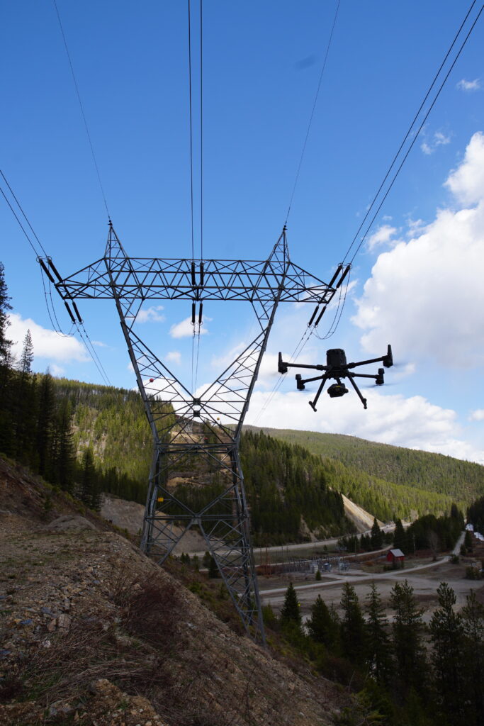
Access remote areasMilitary unmanned drones can easily access rough terrain, dense forests, ravines, mountains, and other hard-to-navigate areas. This expands the search area significantly.

Real-time data – Drones transmit live video feeds and images to SAR teams on the ground, providing instant information to aid rescue efforts.

Precise tracking – Advanced GPS and sensory technologies allow drones to pinpoint locations precisely. This helps SAR teams find victims faster.

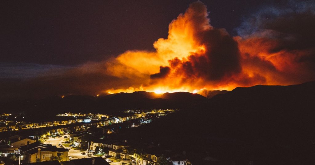
Night operations – Drones equipped with thermal imaging cameras can continue search operations after dark when manned helicopters are grounded.
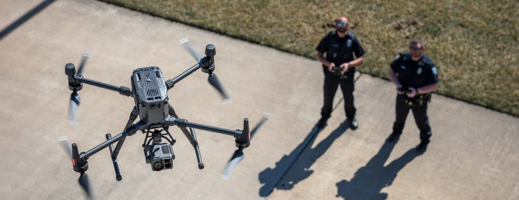
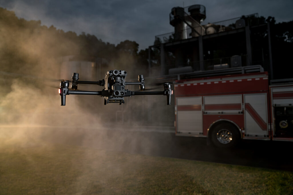
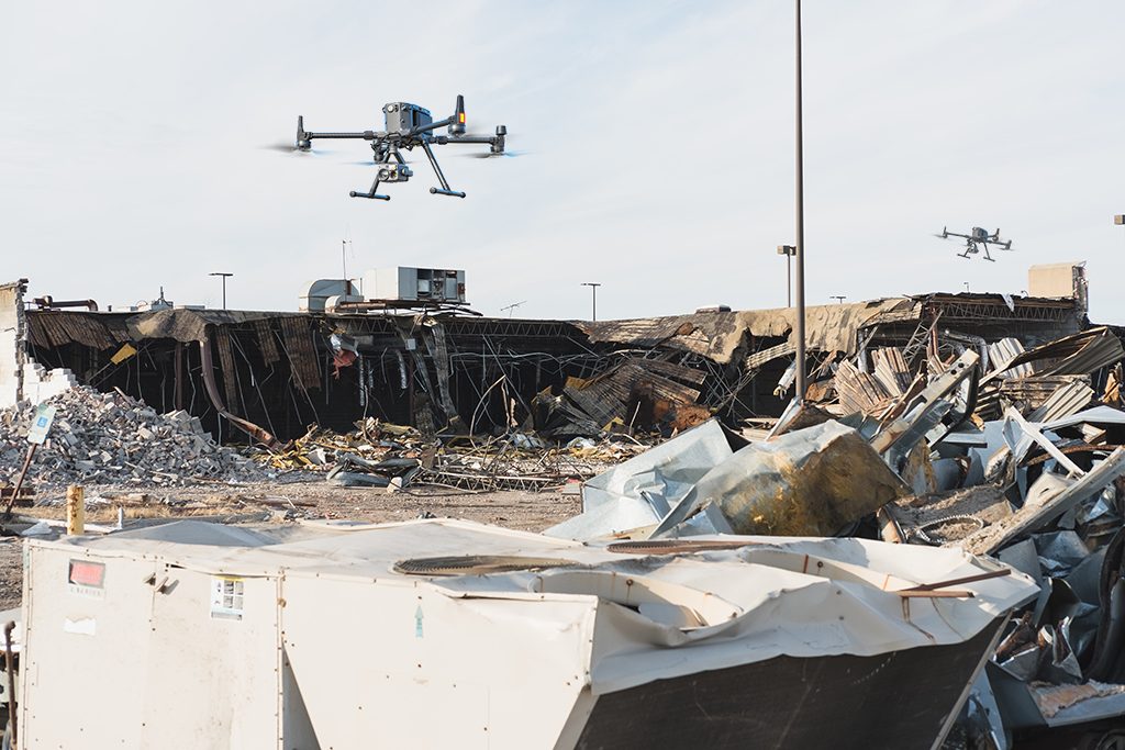
Reduced riskNew UAV technology drones keep rescue personnel from potentially dangerous areas like flooded rivers, wildfires, or collapsed buildings.

Latest UAV Technology Advances for SAR Drones

Innovations in drone technology are making them even more valuable for search and rescue missions:

1. Longer Flight Times

Extended battery life and improved power efficiency allow drones to stay airborne longer. The **DJI M30** series offers up to 55 minutes of flight time, while the **Autel EVO Max 4T** provides 40 minutes of operation. This increased endurance lets drones cover more ground during time-sensitive SAR missions.

2. Enhanced Sensors

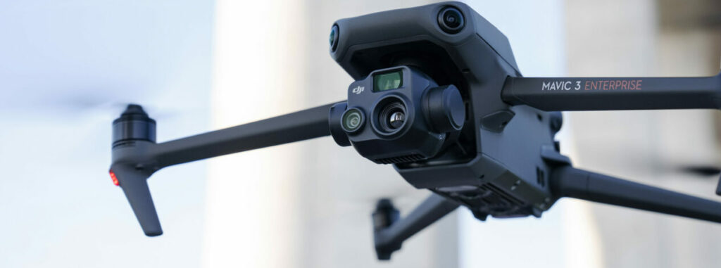
Advanced drone sensor suites like the **DJI M30** and **Autel EVO Max 4T** include visual cameras, thermal imagers, hyperspectral sensors, lidar, and more. These enhanced eyes in the sky identify signs of life, dangers, and access routes to guide rescuers.

3. AI Object Tracking

Artificial intelligence (AI) gives drones automated object-tracking capabilities. The latest **DJI M30** series can lock onto people and vehicles, following them persistently. DJI latest drones are invaluable for keeping victims in sight during rescues.

4. Larger Communication Range

New drones maintain a robust control and video link across longer distances. The **DJI M30** has a 15km HD video transmission range, while the **Autel EVO** offers 8km. Teams can operate drones beyond visual line-of-sight (BVLOS) to expand search areas.

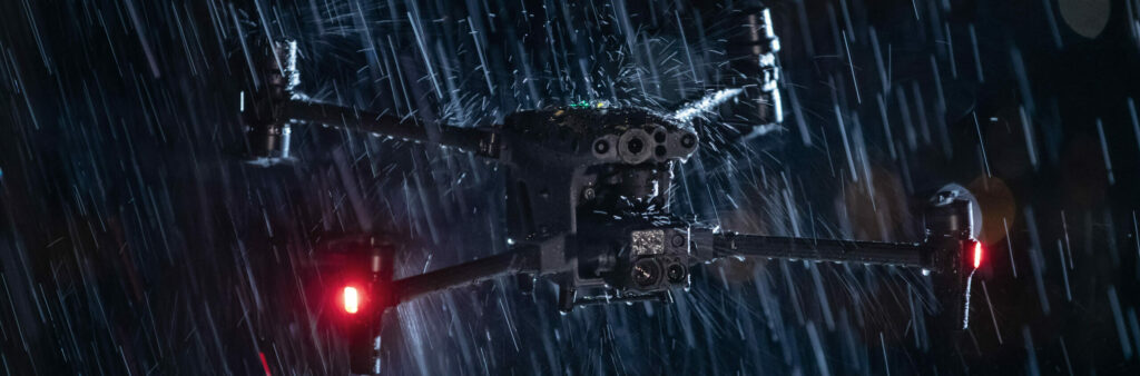
5. Improved Durability

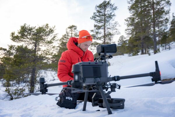
Rugged drone airframes and water/dustproof designs allow them to operate in all weather and environments. Drones like the **DJI Matrice 300 RTK** can withstand winds up to 44 knots, rain, and drops onto concrete. This durability enables use in harsh SAR situations.

6. Faster Top Speeds

High-speed drones like the 90 kph **Autel EVO Max 4T** get to search areas quicker and pursue moving targets. Their speed aids in rapid response and tracking during time-sensitive SAR missions.

7. Modular Payloads

Quick-swap drone payload bays like on the **DJI M30** allow SAR teams to reconfigure sensors on the fly. Switching payloads from zoom cameras to thermal lets drones rapidly adapt to changing mission needs.
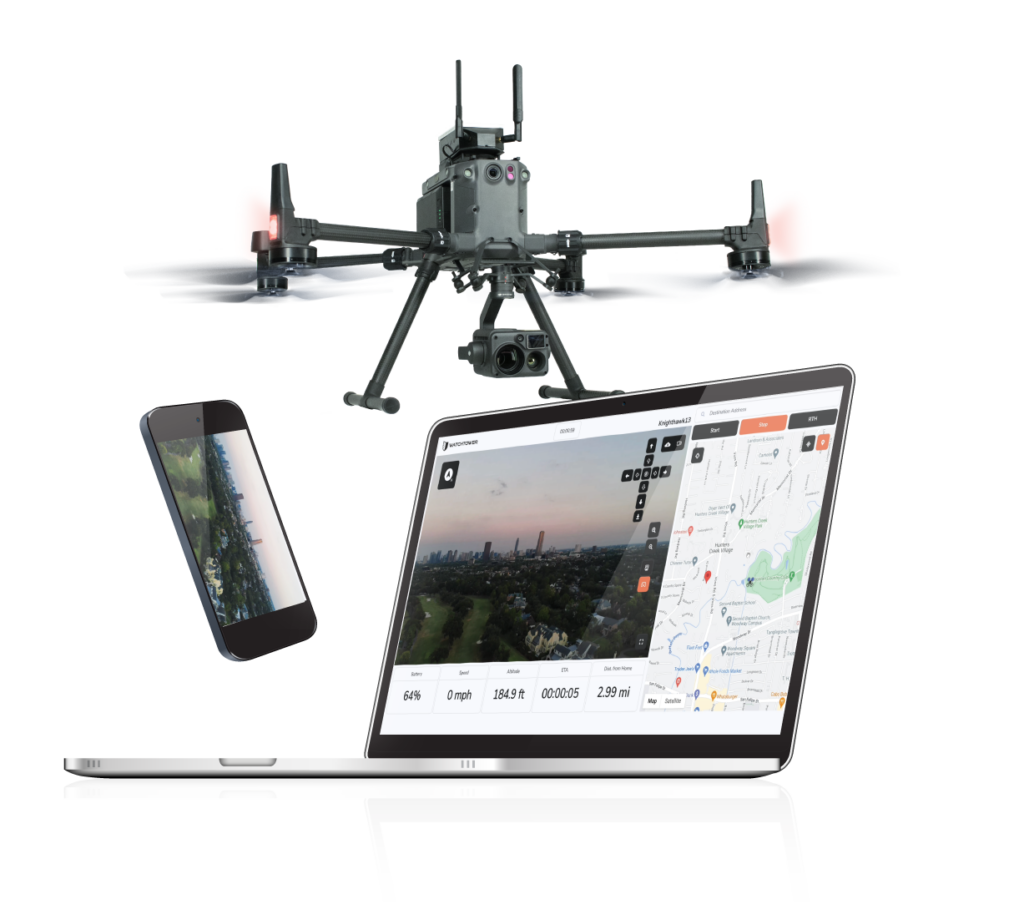
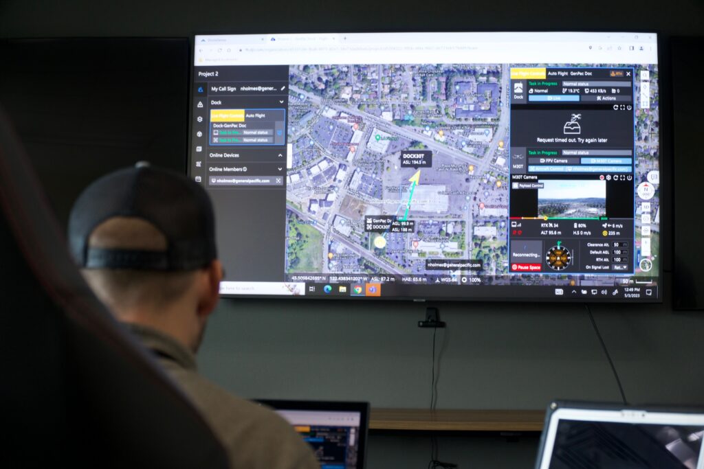
8. Automated Flight

Programmable flight patterns and automation through tools like **DJI FlightHub** reduce pilot workload. Rescuers can focus on spotting victims while drones autonomously scan terrain and obstacles.

Automated Flight

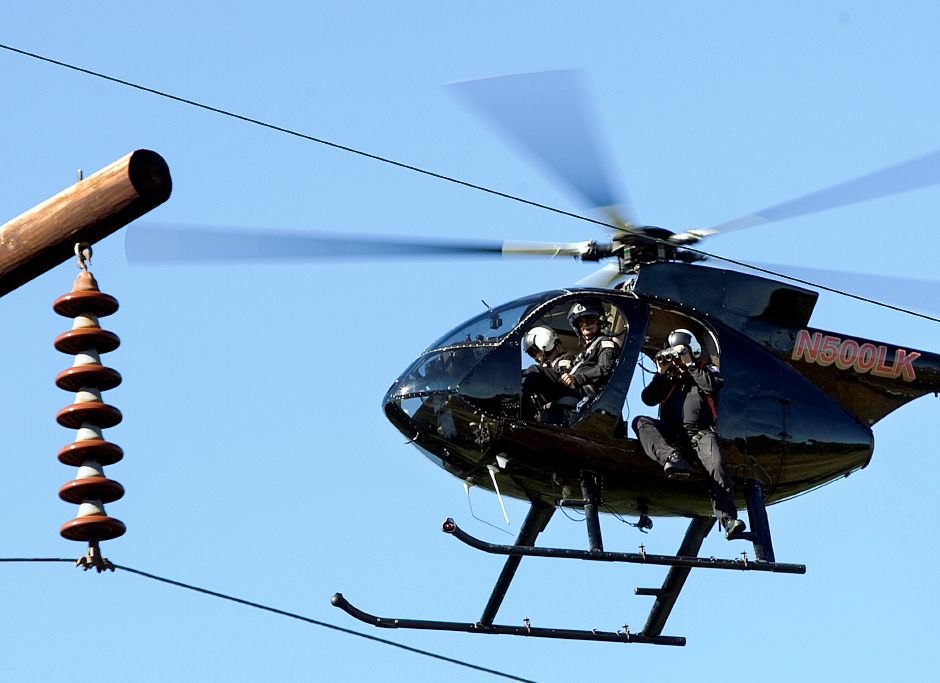
Cutting-Edge Military SAR Drones

The military utilizes state-of-the-art unmanned aerial systems (UAS) technology purpose-built for combat SAR operations:

MQ-9 Reaper – Heavily armed, this drone also carries advanced radar and sensors to penetrate deep into enemy areas for CSAR missions.

AirRobot AR200 – Small and portable, this VTOL drone is made for special forces to carry in backpacks for rapid SAR deployments behind lines.

InstantEye MK-3 GEN5 – Fitting in a single hand, these nano-drones provide over-the-hill reconnaissance in tight urban warfare spaces to locate downed aircrews.

Cobras 2 SAR – Equipped with an acoustic sensor array, this drone can hone in on cell phone pings, distress beacons, and voices to pinpoint people for rescue.

While cost-prohibitive for civilian rescue agencies, this cutting-edge military drone technology highlights the future SAR potential of UAVs. Commercial DJI latest drones will integrate similar capabilities in the coming years.

DJI latest drones

Drone-Assisted SAR Operations in Action

Drones have proven their life-saving capabilities in numerous real-world SAR situations:

– In 2021, thermal drone imaging two missing hikers after two days of fruitless searching in the woods of New Hampshire.

– During the 2018 Camp Fire disaster in California, drone SAR [teams led by the non-profit “Rebuild Paradise” combed through debris to find missing residents and pets.

– In the aftermath of Hurricane Michael in 2018, drones scanned miles of debris to identify those needing rescue and evacuation routes.

– During Hurricane Harvey flooding, first responders used drones to pluck stranded people off rooftops beyond the reach of watercraft.

As drones continue to provide value in real-world emergencies, SAR agencies are expanding their adoption of UAV technology.

Drone Detection Solutions for Secure SAR Operations

While drones provide invaluable eyes in the sky for SAR, consumer UAVs pose a hazard to human-crewed aviation operations. Rogue drones flying near helicopter search patterns run the risk of midair collision.

Security solutions like “DroneShield” provide airspace surveillance and threat detection to counter this. Their “DroneSentinel” system uses cutting-edge radars to detect, track, and classify approaching drones and can neutralize unauthorized ones. Drone detection solution protects rescue helicopters and ensures unimpeded SAR missions.

Drone detection solution

FAQs About Drones for Search and Rescue

What sensors are best for SAR drones?

Visual cameras, thermal imagers, and lidar sensors provide complementary capabilities for thorough searches. Zoom cameras aid during daylight, while thermal is crucial for nighttime or dense vegetation.

How much does a SAR drone program cost?

For a basic starter program, expect around $3,500-$5,000 for a drone, pilot training, and accessories. More advanced platforms with multiple sensors can range $10,000-$30,000.

What is the range of a SAR drone?

Smaller drones may have 1-3-mile effective ranges, while larger ones offer 7-15+ mile operation radii depending on conditions. With BVLOS waivers, unlimited-range fixed-wing UAVs are ideal for wide-area searches.

Can drones save lives in emergencies?

Absolutely. New UAV technology drones have proven invaluable in locating victims during disasters and sending help more efficiently. They reduce risk to responders while multiplying search capacity.

What weather can drones operate in?

Newer professional drones can fly in rain, winds up to 40 knots, and even snow—however, extremely dense fog or severe thunderstorms.

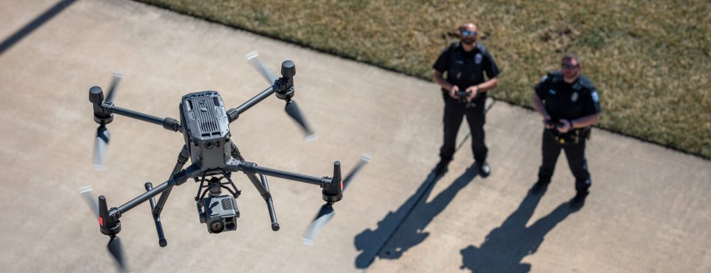
Getting Started with a Professional SAR Drone Program

For public safety agencies looking to start their drone program, choosing the suitable airframe and sensors is critical:

– The “DJI Matrice 30” and “Matrice 300 RTK” provide professional-grade performance for rigorous SAR duties. Their modular payloads and intelligent functions make them ideal platforms.

– Rugged fixed-wing drones like the “Paladin UAS” offer unlimited flight time capabilities for extensive range BVLOS operations.

– Multi-sensor cameras like the “H20T Zoom” thermal, visual, and laser payload provide an all-in-one imaging solution for thorough searches.

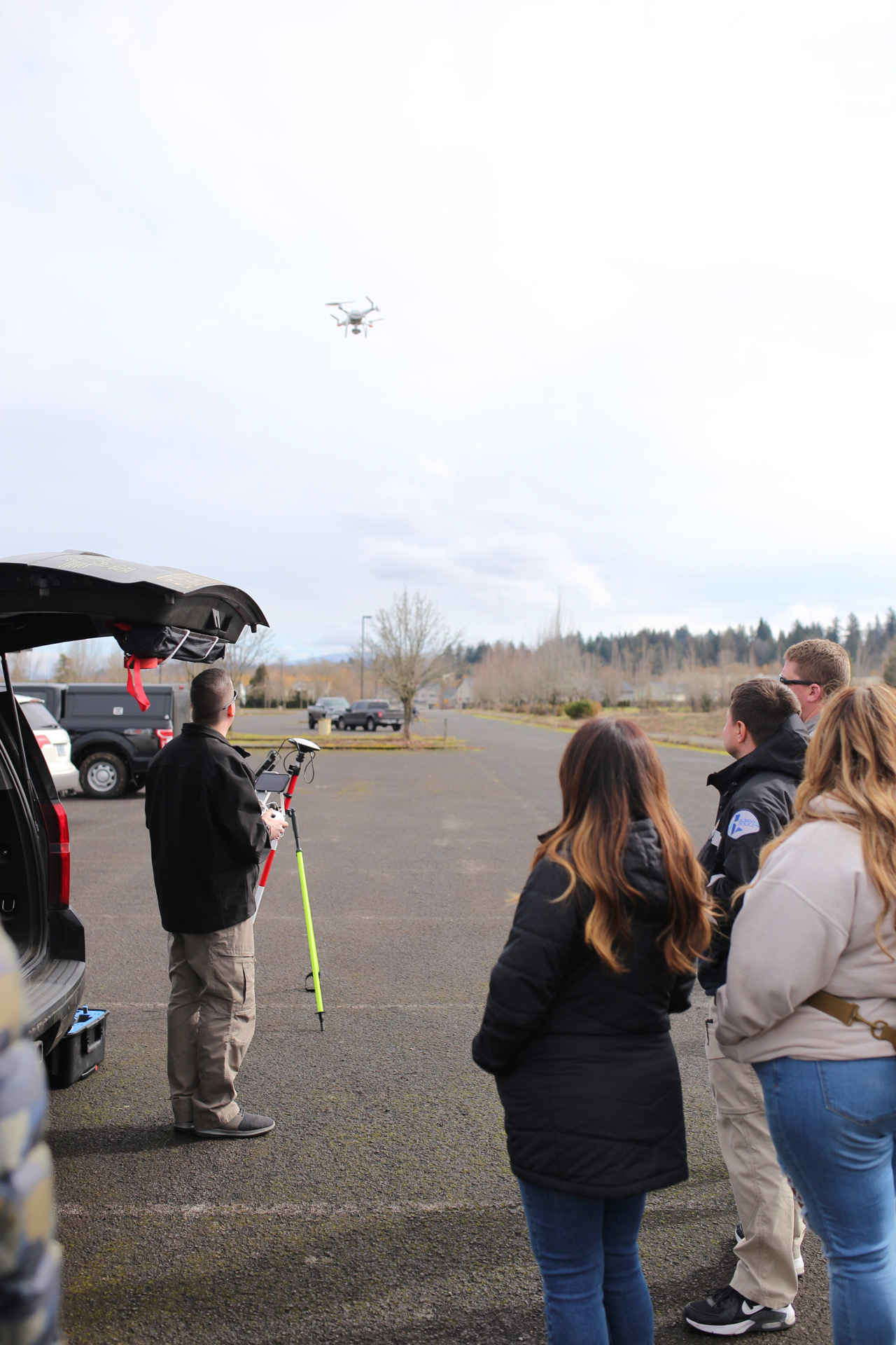
Beyond capable drones, a complete program needs pilots trained in aerial SAR techniques. The FAA **Part 107 certification** course prepares operators to fly missions within visual line-of-sight (VLOS) legally. For expanded BVLOS flights, the “Public Safety NIST” curriculum teaches techniques tailored to public safety drone missions.

By leveraging the latest professional drone technology and training personnel, SAR teams can maximize the effectiveness of their aerial operations and save more lives.

DJI Innovates with a “Drone in a Box”

The Future of Drone Technology: A Close Look at the DJI Dock

The drone industry continues to evolve at a rapid pace, with innovations and improvements being launched regularly. One of the latest game-changing products is the DJI Dock, a piece of cutting-edge technology designed to revolutionize drone operations and control.
Exclusively compatible with the DJI M30T Dock Version, the DJI Dock is a state-of-the-art piece of equipment that facilitates remote piloting, making it a ground-breaking step forward in drone technology.

“The most popular, highest-rated drone docks out there” – Sally French (@thedronegirl)

Unique Features

One of the standout attributes of the DJI Dock is its ability to enable both manual and programmable flights. The programmable flight option allows for repeatable and timed flights, which are particularly useful for routine inspections in sectors such as utilities and solar farms. Moreover, its role in “drone as a first responder” programs can’t be overstated.

Operating the DJI Dock

The DJI Dock is operated via DJI FlightHub 2, a remote software lauded for its user-friendly interface. The ease of understanding and the intuitiveness of the controls ensure a smooth operation, ideal for efficient and effective drone flight management.

Set Up and Support

Setting up the DJI Dock is not an overly complicated process, but it’s recommended that you seek assistance from a certified Dock installation and repair company like GenPac Drones. They can help ensure a seamless setup and optimal functioning.

Real-World Applications

The DJI Dock finds its place in various real-world applications. From utility inspections and solar farm checks to being an integral part of first responder programs, the DJI Dock is poised to play a crucial role in many sectors.

Availability and Pricing

DJI has partnered with a select few companies for the distribution of their Dock. GenPac Drones is one of only four manufacturers certified companies where you can purchase the DJI Dock. The price is available on request, with quotes tailored to your specific needs.

Please reach out to us to schedule a demonstration

Revolutionizing Utility Work: Harnessing the Power of Drones

The emergence of drones, also known as Unmanned Aerial Systems (UAS), has created a significant shift in the way industries operate. One sector that has experienced a rapid transformation due to drone technology is the utility industry. Drones have proven to be invaluable tools for utility work, providing an innovative and efficient approach to inspection, maintenance, and monitoring. In this blog post, we will explore the fascinating world of drones in the utility sector, revealing how these flying machines are transforming the industry and making it safer, more efficient, and cost-effective.

Read more: Revolutionizing Utility Work: Harnessing the Power of Drones

The Benefits of Drones in Utility Work

1. Improved Safety

Utility work often involves working at significant heights and in hazardous environments. Drones eliminate the need for human workers to perform risky tasks such as climbing poles, towers, or working near live wires. By using drones for inspections, utility companies can reduce the risk of accidents and ensure the safety of their employees.

Drones equipped with high-resolution cameras and advanced sensors can cover vast areas and conduct inspections in a fraction of the time it would take human workers. This not only saves time but also reduces labor costs. Moreover, drones can easily access hard-to-reach or remote locations, making the inspection process more comprehensive and efficient.

2. Enhanced Data Collection and Analysis

Drones can be fitted with a wide range of sensors and cameras, enabling them to capture essential data for utility companies. High-resolution images, thermal imaging, and LIDAR scans provide a detailed and accurate representation of the infrastructure. This data can be used to detect faults, assess wear and tear, and monitor vegetation growth near power lines. Advanced analytics software can then process this data, providing actionable insights to utility companies and helping them make informed decisions.

3. Cost-Effective Solution

Traditional methods of utility inspection and maintenance can be costly, especially when involving helicopters or extensive manual labor. Drones offer a more cost-effective solution by reducing the need for expensive equipment and large crews. The savings in time, labor, and equipment expenses make drones a highly attractive option for utility companies looking to optimize their operations.

Real-World Applications of Drones in Utility Work

Drones are making a significant impact in the utility sector. Here are a few examples of their real-world applications:

1. Power line inspections

Drones can efficiently inspect power lines for wear and tear, vegetation encroachment, and other potential issues. They can quickly cover long stretches of power lines and provide high-quality images for further analysis.

2. Solar Panel Inspections

By using thermal imaging, drones can detect hotspots on solar panels, indicating potential faults or inefficiencies. This allows utility companies to address issues promptly, ensuring optimal performance and energy production.

3. Wind Turbine Inspections

Drones can capture detailed images of wind turbine blades and structures, helping identify damage or wear that may impact efficiency. By providing a safe and efficient way to inspect turbines, drones can help reduce downtime and maintenance costs.

4. Disaster Response and Recovery

In the aftermath of natural disasters, drones can be deployed to assess damage to utility infrastructure and help prioritize repair efforts. This enables utility companies to restore services more quickly and efficiently, minimizing the impact on affected communities.

Drones have undeniably revolutionized the utility industry, offering a safer, more efficient, and cost-effective approach to inspection and maintenance. As drone technology continues to advance and regulations adapt to accommodate their use, it is evident that the future of utility work will be closely intertwined with these remarkable flying machines. Embracing the potential of drones will undoubtedly lead to a more resilient and efficient utility sector, prepared to tackle the challenges of the future.

These are just a few ways that drones are being used within the utility space- for more information, reach out to Chad Nelson with GenPac Drones at [email protected]

Chad works as the Energy/Utility Specialist and would love to help your company start or advance your drone program!

Reconstruction Recap

On March 7, 2023, GenPac hosted a two day training on crime scene and crash reconstruction in partnership with LEDA. The event covered a range of topics from the use of reconstruction software like Pix4D, DJI Terra and Skyebrowse; as well as best practices for capturing data, and how to process it all. This class would have been nothing without the valuable knowledge from our two instructors: Deputy Doug Seirup (Benton County Sheriff’s Office) and Detective Mark Hawley (Gresham Police Department)

Continue reading » “Reconstruction Recap”

Pix4D | DJI Terra

If you’re looking for a solution to help you process and analyze drone data, you’ve probably come across Pix4D and DJI Terra. Both are powerful tools that can help you create 2D and 3D maps, as well as process and analyze drone data. However, they do have some key differences, and depending on your needs, one may be a better fit for you than the other.

Pix4D is a popular software suite for drone mapping and photogrammetry. It allows you to process drone imagery into 2D and 3D maps, models, and point clouds. Pix4D offers a range of products for different applications, from Pix4Dmapper for high-accuracy surveying to Pix4Dreact for emergency response and humanitarian aid. Pix4D also integrates with a wide range of drone hardware, including DJI drones.

On the other hand, DJI Terra is a software solution specifically designed for DJI drones. It allows you to create 2D and 3D maps, models, and inspection reports, as well as analyze data using tools such as volume measurement and contour analysis. DJI Terra is optimized for DJI drones, which means it can take advantage of the specific capabilities of these drones to improve accuracy and efficiency.

So which one is right for you? It depends on your needs and the drone hardware you’re using. If you’re using a DJI drone and need a solution that’s optimized for that hardware, DJI Terra may be the better choice. However, if you need more flexibility in your hardware choices or need a solution for a specific application, Pix4D may be a better fit.

If you’re still not sure which one to choose, or if you have questions about how to get the most out of these tools, GenPac Drones can help. As a leading provider of drone services and solutions, we have extensive experience with both Pix4D and DJI Terra, as well as a wide range of other drone software and hardware. We can help you assess your needs, choose the right solution, and provide training and support to ensure you get the most out of your investment.

GenPac’s Partnership with UTG

GenPac is working in collaboration with Unmanned Tactical Group, a company that is filling a gap in the market by providing specialized unmanned aircraft system (UAS) training. Currently, in the US, there is no standardization of drone training within the first responders’ sector, whether that is Law Enforcement firefighters or medical professionals. 

We are extremely excited at their offerings and we hope that first responder drone users see that same value.

The current state of UAS training in the USA

Under current rules, a drone pilot must take a Remote Pilot License (Part 107) from the FAA. To achieve this, students take a basic Airman’s knowledge test that only evaluates their ability to learn facts and operations. Once they’ve passed this, pilots can operate a drone in a commercial capacity without ever flying a drone. 

This doesn’t take into account the myriad different applications of drones across various industries. A drone pilot working in the film industry would need very different skills to one working in the construction industry, for example. Despite this, there are no standardized drone training programs for each industry. In many cases, that’s the equivalent of handing out a driving license to someone and letting them drive a firetruck, an 18-wheeler, or a Formula 1 car.

Unmanned Tactical Group – with the support of GenPac drones – are attempting to change this, and are offering drone training that is ‘for First-Responders, by First-Responders

Drone training for first responders

Unmanned Tactical Group is made up of 11 instructors from a variety of different public safety professions. They employ paramedics, police officers, and firefighters, all of whom offer bespoke courses that teach their contemporaries how to use drones in the line of duty. They were founded to bridge the gap in drone skills in the Public Safety industry and to help provide some level of standardization of UAS training that currently does not exist. 

Drone training that is required by law to pilot a drone falls well short of what Public Safety officials require to operate safely in the field. Training courses by Unmanned Tactical Group teach professionals how to operate safely, efficiently and within regulations while piloting a drone for emergency operations.

The company was founded on the principle of “for First-Responders, by First-Responders’’. All students are taught by current or former Public Safety officials on a variety of different courses.

 Why was Unmanned Tactical Group Founded?

With the lack of suitable drone training for first responders available, Brandon Karr – Co-Founder and Lead Instructor at Unmanned Tactical Group – decided to change that. He realized that the only way to make changes to the quality of training in the industry was to do it from within. All Public Safety officials are expected to carry out lifelong learning and training. This could be anything from learning new regulations, to learning new cutting edge techniques. Therefore, professionals in the industry are well equipped to take on new information. However, what’s missing is standardized UAS training programs.

Unmanned Tactical Group are looking to fix that. By teaching these programs from within, the hope is that over time drone skills will become another standard tool in first responders’ arsenal.

Karr said: “Training is the tip of the spear with today’s first responders.  Unmanned Tactical Group has gathered some of the best instructors Public Safety has to offer in an effort to provide experience, expertise and technical know-how to front-line professionals across the country.  Our partnership with GenPac allows us to maximize our reach to those agencies all while providing cutting edge and affordable training to GenPac’s customers.”

What types of training are available?

The trainers at Unmanned Tactical Group are considered some of the most reputable in this emerging training vocation. Their expert team covers a variety of different drone applications across a number of two and three day courses.

Their UAS Public Safety program introductory course is suitable for complete beginners, or drone pilots who have only completed a standard drone course in the past. This runs through all of the different regulations they need to be aware of as Public Safety drone operators, as well as the basics of drone operation. The students will come away with a better understanding of the aircraft systems themselves as UTG’s instructors are experts in most of the commercially available drones in the market today.

There are other – more specialized  – courses suited to a variety of different first responder scenarios. The Disaster Response course teaches first responders how to deal with natural disasters, such as hurricanes, wildfires, earthquakes, and avalanches. They will learn how to use drones to coordinate their responses to disasters while understanding the basics of mapping and creating orthomosaics.

Other courses include crime scene mapping, augmented HAZMAT response, and UAS search and rescue, and basic thermography for UAS which does a deep dive into understanding how a thermal sensor works and best practices for its use during your operations. The Crash/crime scene mapping course shows first responders how to gather data at a crash/crime scenes quickly and efficiently. Then use the captured data to make highly accurate products for crash and crime scene investigations.   The UAS for HazMat response course teaches students how to effectively use their UAS in more advanced tactical situations such as air monitoring, chemical detection and thermal imaging.  Meanwhile, the search and rescue course teaches First-Responders how to use drones to complement a boots on the ground response whether it be a missing person or a wanted subject.

While boots on the ground remain necessary, a drone can give ground teams additional information that helps them complete their task.  The UAS Night Operations course teaches the students how to utilize these systems while flying during low-light or no-light situations.  They will learn to better understand thermal technology and how to effectively use it during night operations.

The UAS tactical operations course is a more advanced course that is suitable for a drone pilot working in any Public Safety who has intermediate skills or higher. This course teaches them how to carry out more advanced tasks such as operating drones indoors, high speed vehicle takedowns, payload delivery, and much more. 

Unmanned Tactical Group offers a variety of other courses aimed at Public Safety officials such as Legal concerns for Public Safety, Public safety Program management and so on. We will continue to partner with them over the coming years, and hope they will achieve their aim of standardizing drone training within the industry.

Drones are becoming an essential tool for first responders across the world. Interested in using drones to help your Public Safety team work more efficiently? Contact Aaron Lambert, an industry leader in Public Safety Drone Programs, for more information: [email protected] 

Or visit our site- www.GenPacdrones.com

HELPING THE NEXT GENERATION GET OFF THE GROUND

Earlier this month, GenPac Drones helped the Rebuild Paradise Foundation train the drone pilots of the future as part of the Inaugural Paradise Ridge Drone Camp in Paradise, CA. This part of northern California was devastated by the ‘Camp Fire’ wildfire in 2018, and the Foundation is a non-profit organization working to rebuild the area.

Paradise Ridge Drone Camp

The event was held as a career opportunity for high school students who had been affected by Camp Fire. It was a joint effort between the Rebuild Paradise Foundation, Paradise Recreation and Parks Department, and GenPac Drones and DJI.

Charles Brooks, from the Rebuild Paradise Foundation, was the lead tutor at the weekend, enlisting the help of GenPac Drones to provide equipment and expertise. The aim was to teach rural children, who are from an area that’s recovering from the devastating wildfire, new skills that combine emerging technology with working outdoors.

When Charles got in touch with us early on to see if we’d be interested in getting on board, we couldn’t say yes quickly enough. We attended one day of the event, and brought a whole fleet of drones with us, including models such as the DJI M-300. This allowed the students to get hands-on with the technology, and have opportunities that many professionals don’t even get to have. Indeed, each student was offered the opportunity to fly a drone on the day, which contributed massively to their experience.

We also put Charles in touch with DJI, which allowed the Foundation to get access to drones on loan. This meant that the students were able to use DJI Mini 2 drones when not flying our larger platforms, giving them even more flight time and experience across the weekend.

On the final day of camp, the students rounded off their experience by giving individual presentations to an audience of industry professionals, county schools leadership, the local parks department, parents, and other members of the community.  They each put together a 3-minute video showcasing the footage, thermal imagery, and photography they’d taken, as well as mapping work they did with the various drones. The students also answered questions from the audience and wrapped up the event with flying demonstrations.

Charles Brooks, of the Rebuild Paradise Foundation, said:  “Gen-Pac has been – and continues to be – an incredible resource, supporter, and partner in everything we do to support the recovery of our community… I knew if we could get Aaron [Lambert] or a team member there with some demo equipment, our students would get a whole new level of experience and access.  Well, Aaron [Lambert] and his team member Chad delivered big time.

“I am confident that our camp would not have had the same level of impact and impression on our students had Gen-Pac not said yes.”

So, the event was a resounding success. But why teach these students about drones in the first place? That’s because drones are a key tool in the fight against wildfires, both in terms of prevention, and gathering data to rebuild afterward.


Drones and the fight against wildfires

Drones are becoming invaluable tools in the fight against wildfires, both as a preventative measure, and to help survey the damage following a fire. This is why GenPac wanted to help the Rebuild Paradise Foundation train the drone pilots of the future, so they can help their communities limit damage from wildfires, and assist in rebuilding after a wildfire occurs. Find out more info about this on our other post: Utilizing Drones During Wildfires

Inspection

After a fire has occurred, one of the primary ways drones can help is as a tool to survey and inspect the damage that has been caused. Drones can collect this data much quicker and much more accurately than teams on the ground, or teams using helicopters. Teams on the ground are slow, and often have to take many more precautions due to health and safety concerns. They also can’t get a bird’s eye image that a drone can.

While helicopter crews can get that bird’s eye image, there are issues with this method too. Similar to having boots on the ground, there are safety concerns around flying too close to the ground. Additionally, chartering a helicopter is very expensive.

On the other hand, drones are quicker and cheaper than deploying either ground crews or helicopter crews. They can get more data in less time, which is invaluable to teams in charge of rebuilding. It is impossible to start a rebuild until the affected area has been completely surveyed, something that takes a long time when done the old-fashioned way.

Drones are safer

Compared to using ground crews or chartering a helicopter, drones are a much safer way of gathering data from a wildfire site. They can get more information in less time with little to no risk to human safety. On the other hand ground crews  – and to a lesser extent helicopter crews – are putting themselves at considerable risk every time they go out to survey a wildfire site. The worst thing that’s likely to happen is that a drone could become damaged or destroyed, in which case the worst impacts are financial.

Wildfire Mitigation

Drones can also be used to mitigate wildfires, and either stop them or prevent them from becoming as devastating when they do occur. They do this by assisting with controlled burns. A controlled burn is where a section of vegetation is purposely burned in a controlled manner, in such a way that helps to protect highly populated areas.

Drones can assist in this process by carrying out an inspection from above, which gives the authorities the data they need to plan a controlled burn. Once they have all of the information required, drones can also be used to carry out the controlled burn with no need for human intervention. This is incredibly useful, since carrying out controlled burns on the ground or via helicopter is fraught with health and safety risks.

Drones are now an essential tool in the fight against wildfires worldwide. Want to learn more? Contact Chad Nelson, an industry leader in utility drones, for more information: [email protected] or online at www.GenPacDrones.com