On March 7, 2023, GenPac hosted a two day training on crime scene and crash reconstruction in partnership with LEDA. The event covered a range of topics from the use of reconstruction software like Pix4D, DJI Terra and Skyebrowse; as well as best practices for capturing data, and how to process it all. This class would have been nothing without the valuable knowledge from our two instructors: Deputy Doug Seirup (Benton County Sheriff’s Office) and Detective Mark Hawley (Gresham Police Department)
Deputy Seirup, a seasoned expert in the field of crash reconstruction, began the event by discussing the importance of accurate data collection. He emphasized the need for comprehensive data collection and how it can greatly affect the outcome of a reconstruction. He then introduced the tools that were going to be used throughout the event. Every student greatly benefited from Seirup’s knowledge that he has gotten over the years while at the Benton County Sheriff’s Office.
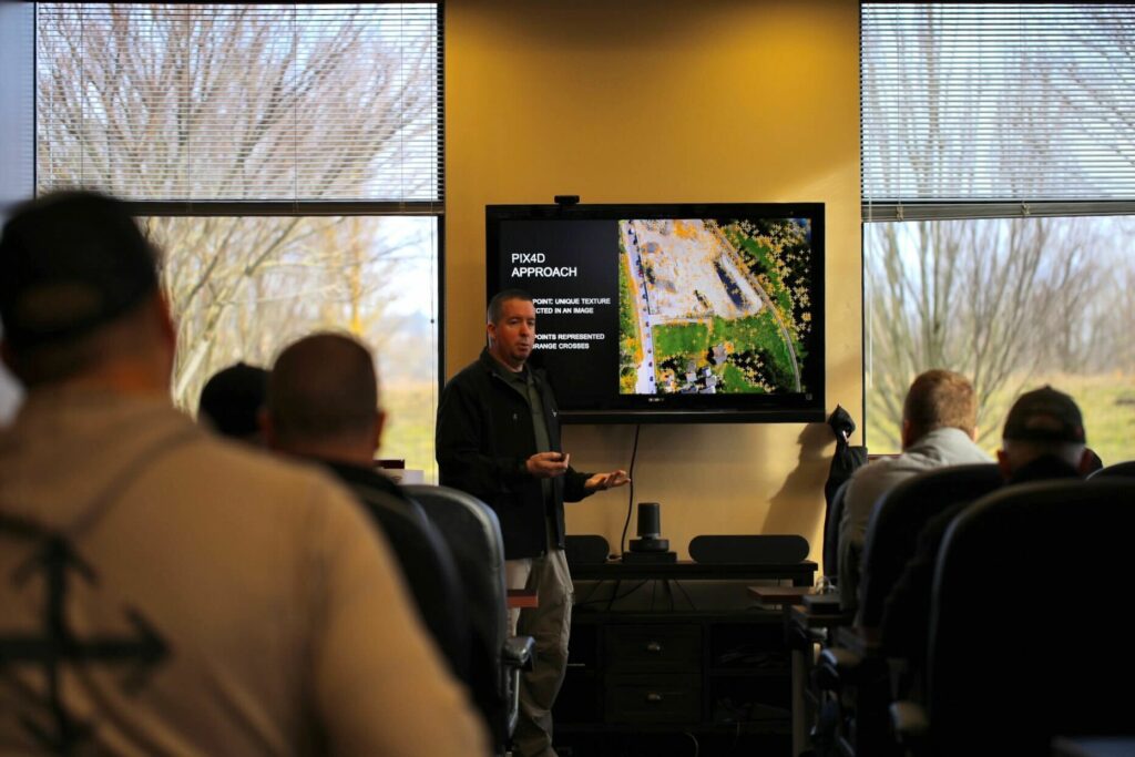
Pix4D and DJI Terra were two of the primary tools used during the class. These software programs enable the user to create 3D models and orthomosaics from aerial imagery. Doug demonstrated how the software can be used to capture and process data from a crash site, making it easier for investigators to analyze the site from different perspectives.
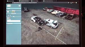
Skyebrowse was another tool that Mark introduced. It is a web-based platform that enables users to upload and share aerial video. The platform has features that enable the user to mark up and annotate the imagery, making it easier to identify key features of the crash site.
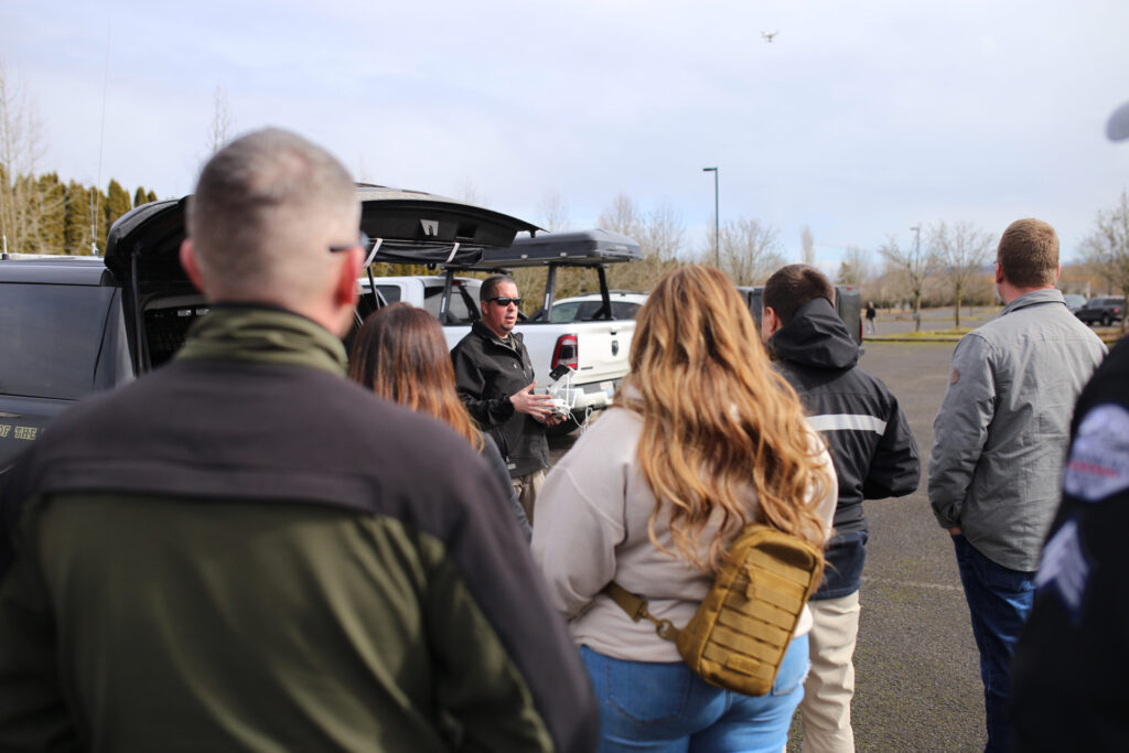
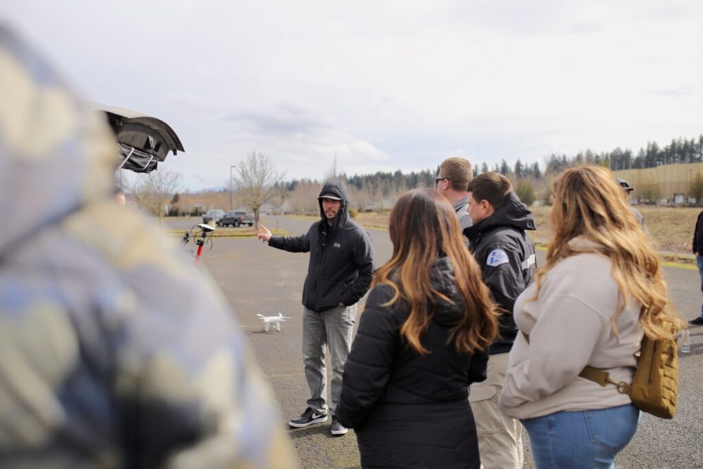
Doug then went on to discuss the best practices for capturing data using drones. He emphasized the need for proper planning before flying and how it can greatly affect the quality of the data collected. He also discussed how to fly the drone in different conditions and how to set up the camera to capture the best possible imagery.
Once the data has been collected, Mark demonstrated how to process it all using Pix4D and DJI Terra. He showed how the software can be used to create 3D models and orthomosaics from the aerial imagery. These models can then be used to analyze the site from different angles, making it easier to identify key features of the crash site.
Overall, the event was a great success. Doug and Marks’s presentations were informative and engaging, and the attendees learned a lot about the tools and best practices for crash reconstruction. The use of Pix4D, DJI Terra, and Skyebrowse were particularly interesting and highlighted the benefits of using drone technology in crash reconstruction. Attendees left the event with a better understanding of how to capture, process, and analyze data from a crash site, which will ultimately help improve crash investigations and make our roads safer.
To get more information or a free 6-Month trial for Law Enforcement Drone Association, reach out to their contact form here: https://www.ledauas.com/
