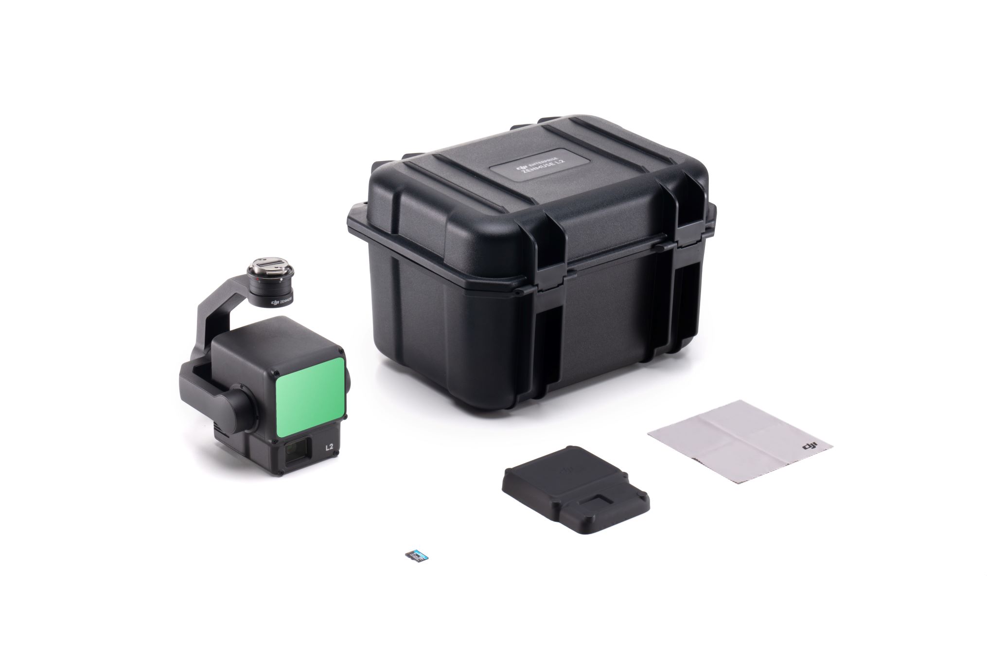
Description
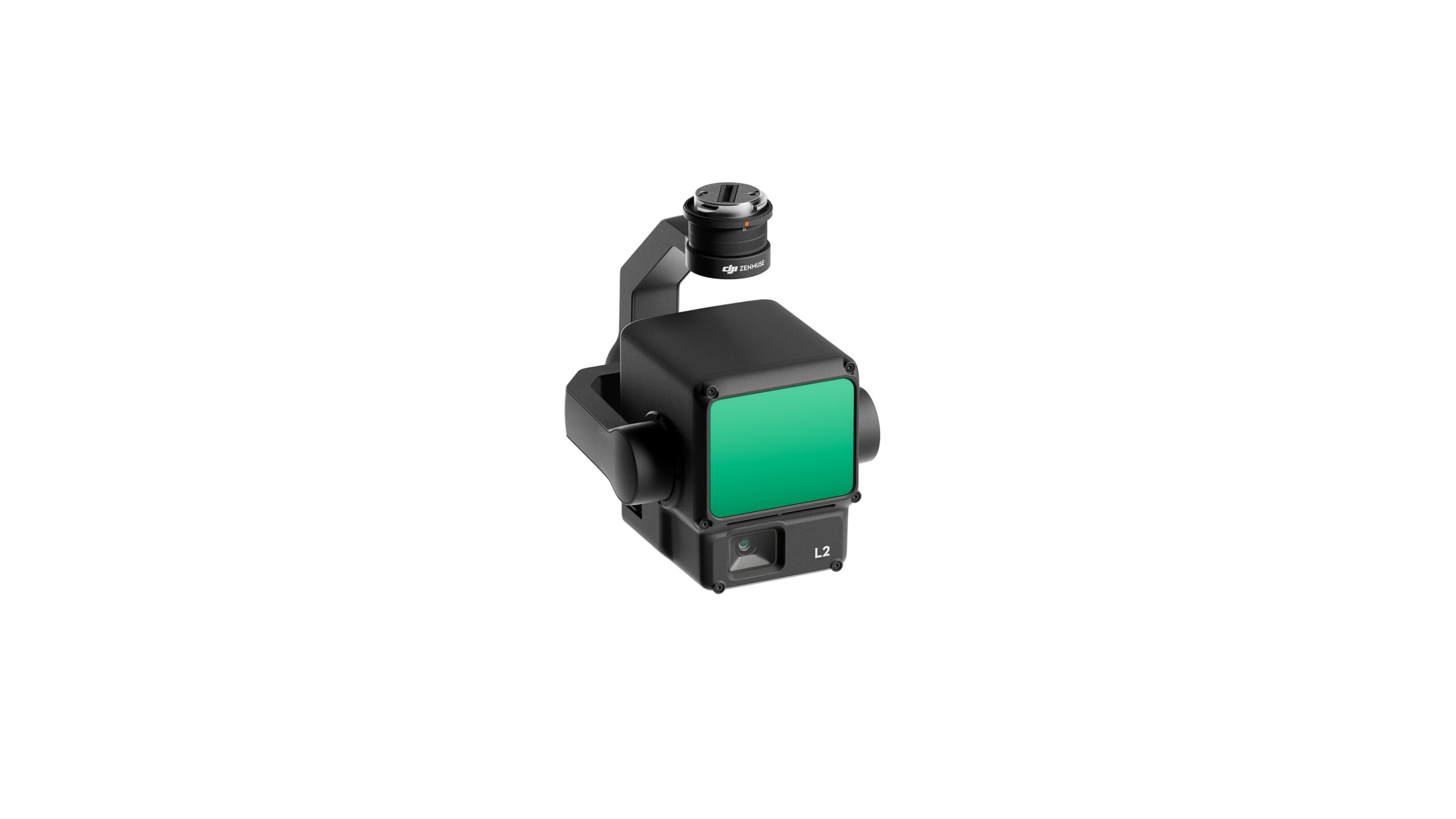
ZENMUSE L2
Powerful Range, Elevated Precision

Zenmuse L2 is a high-precision aerial LiDAR system empowering drones with more accurate and efficient 3D data collection. With 4cm vertical accuracy, 5cm horizontal accuracy, and the ability to cover a large area during a single flight, the IP-54 rated system allows users to effortlessly handle a wide range of operational scenarios.
Integrated LiDAR Solution
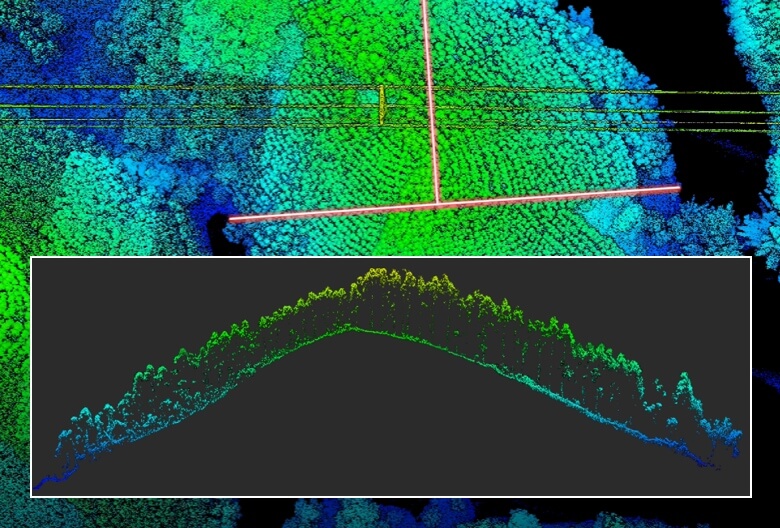
Supported by its powerful hardware, L2 can allow for a precise scan of complex subjects within an extended range and faster point cloud acquisition. During operations, users can preview, playback, and process point cloud models on-site, with Task Quality Reports generated by DJI Terra, offering a simple, one-stop solution to improve overall efficiency. This enables users to achieve high-precision point cloud results with one-stop post-processing.
High-Level Precision
Exceptional Efficiency
Intuitive Operations
By combining GNSS and a high-accuracy self-developed IMU, this solution achieves 4cm vertical accuracy and 5cm horizontal accuracy.
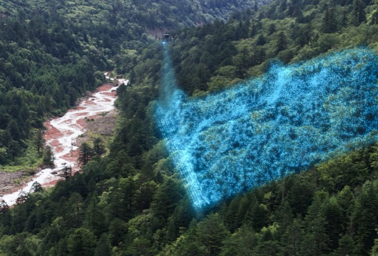
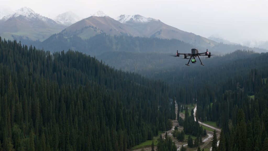
It’s ready for work as soon as it’s powered on and can collect both geospatial and RGB data from a 2.5km2 area in a single flight.
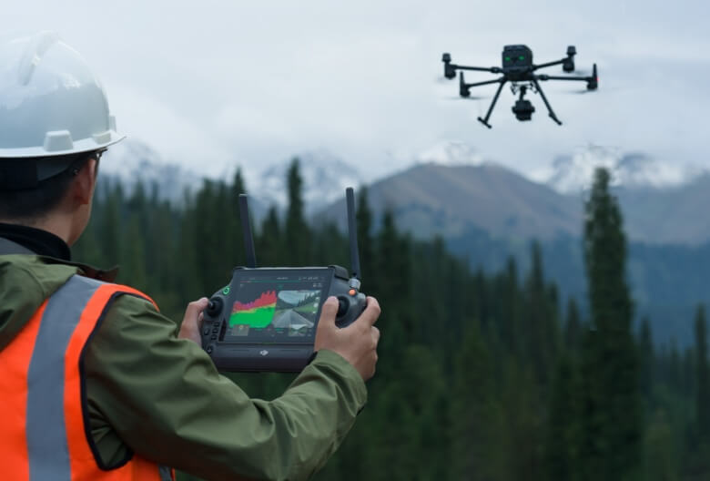
In conjunction with Matrice 350 RTK and DJI Terra, L2 offers a turnkey solution that is simple to use, lowering the operational threshold.
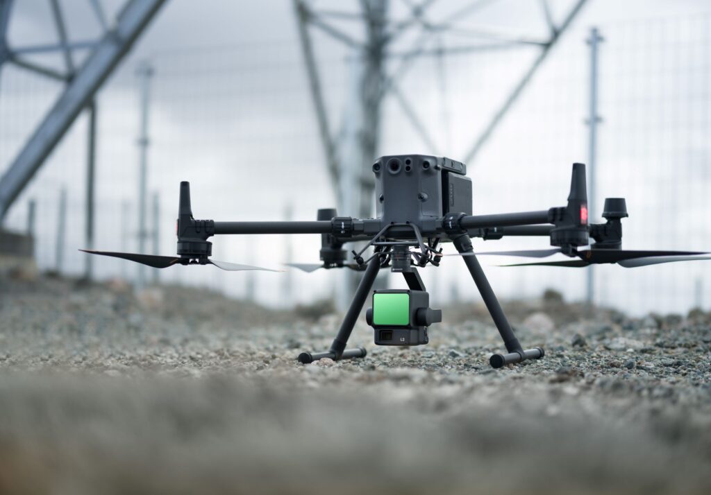
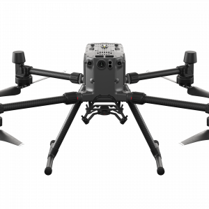
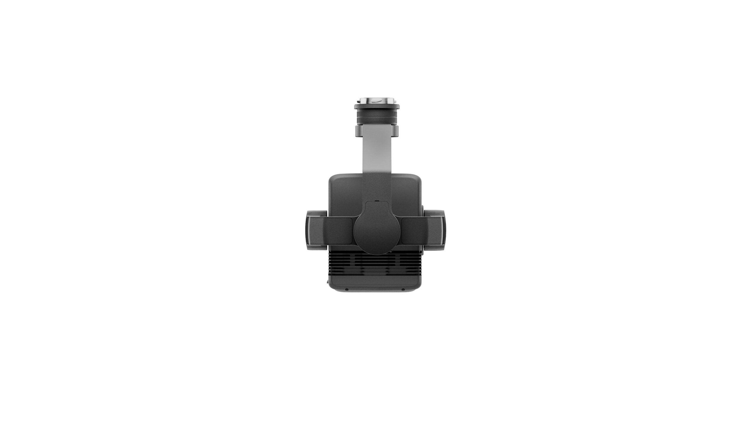
Perfect for DJI Matrice 300/350 RTK
The Zenmuse L2 incorporates a high-accuracy IMU system and integrates seamlessly with DJI Matrice 300 RTK and Matrice 350 RTK drones.
This combination delivers accurate and efficient data collection while enhancing in-the-field experiences with immediate readiness and high precision.
Improved detection range and safety
With a 30% increase in detection range compared to its predecessor, the Zenmuse L2 enhances operational safety and efficiency. It detects objects from greater distances, has a reduced spot size for more detailed data, and supports multiple return modes for enhanced data acquisition.
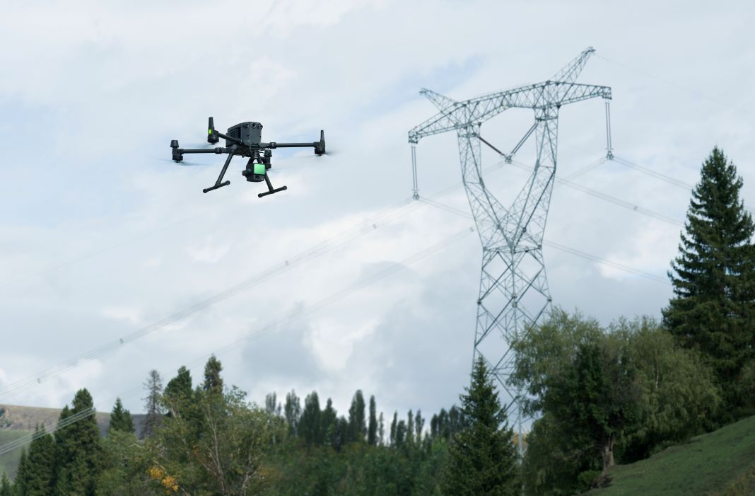
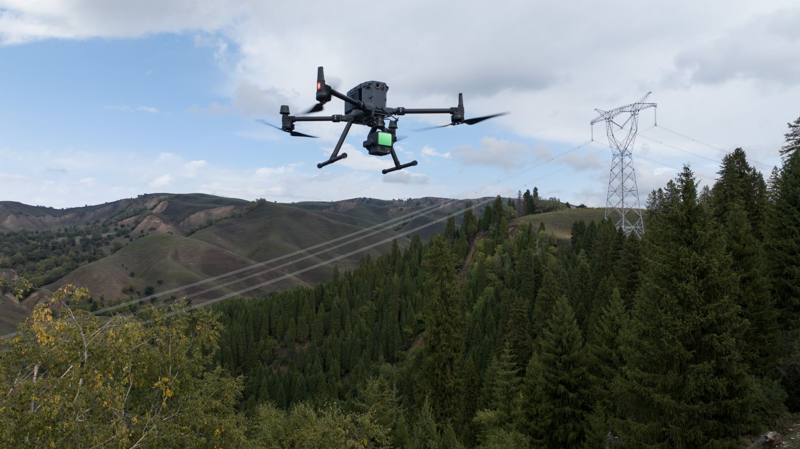
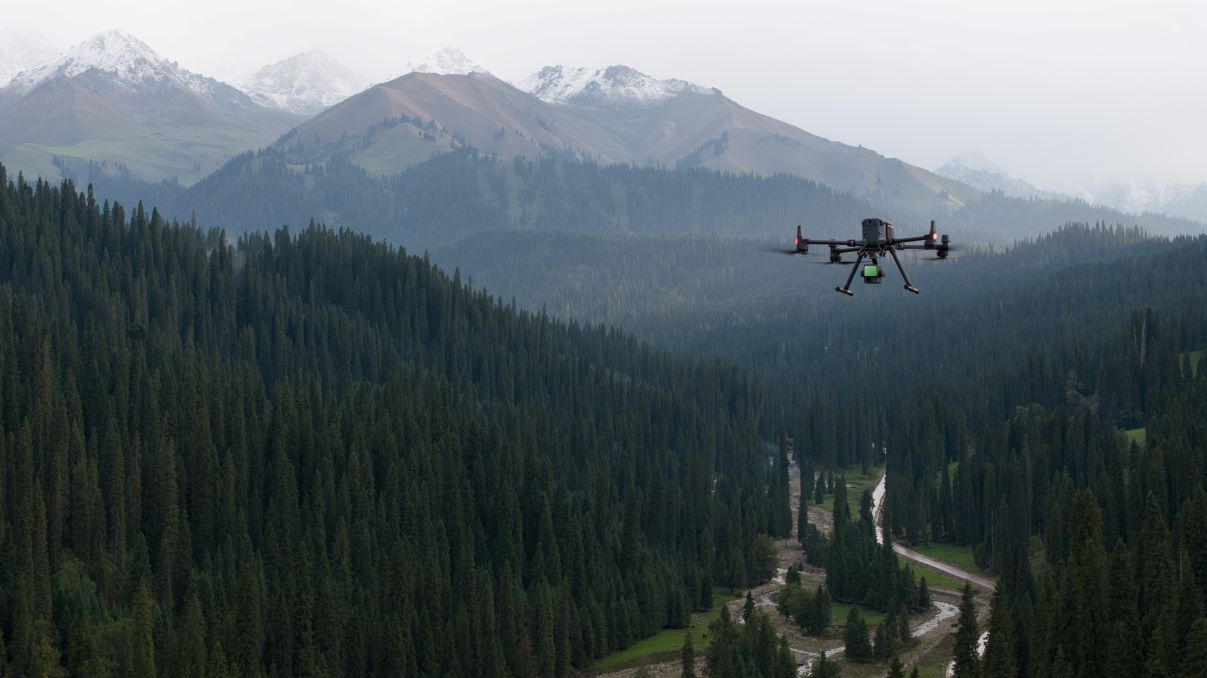
One tool, multiple use cases
The Zenmuse L2, in combination with DJI Matrice 300 RTK or Matrice 350 RTK drones and DJI Terra software, is suitable for various industries. It excels in applications such as topographic mapping, forestry, and electricity inspection, offering efficient data collection and analysis for diverse scenarios.