
Description
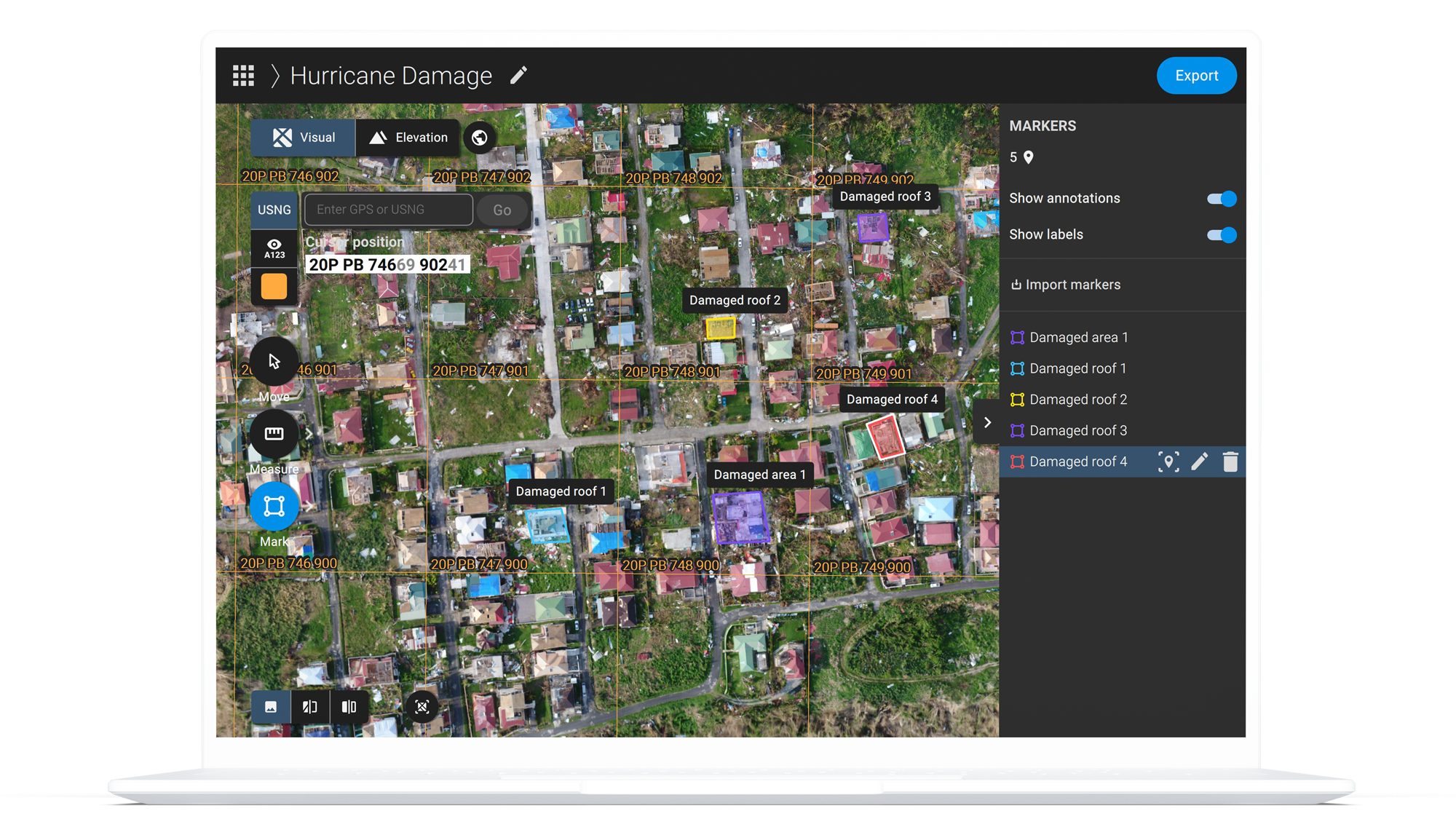
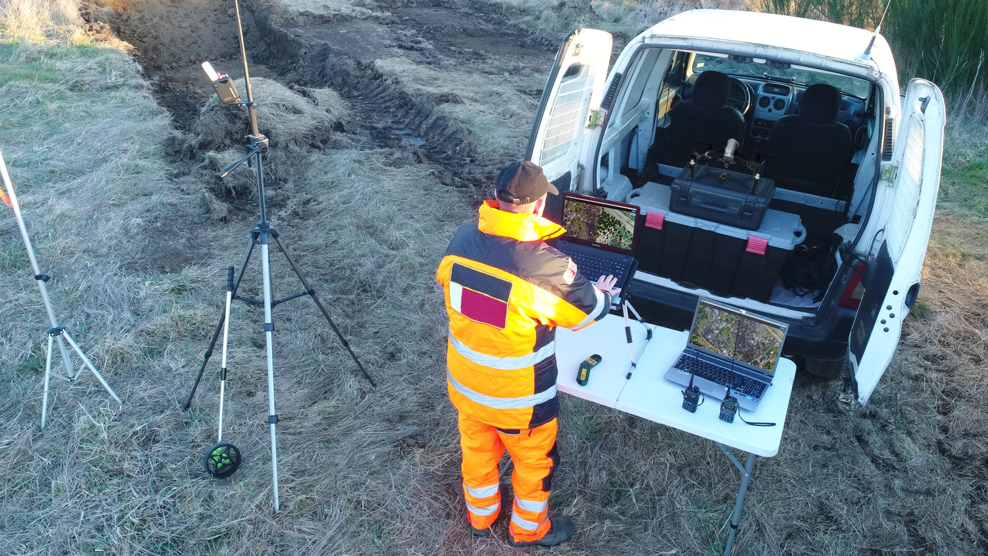
Designed for the public safety and emergency response sector, Pix4Dreact creates 2D maps from drone images. It is fast, easy to use, affordable, and lightweight enough to run on any laptop in the field.
Pix4Dreact is designed to give emergency response teams the insights they need when they need them the most.Key outputs: 2D Orthomosaic, Markers, Measurements, PDF report