
Description
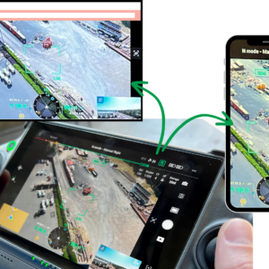
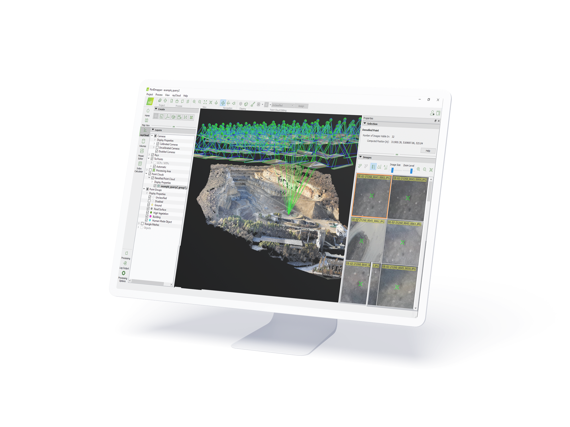
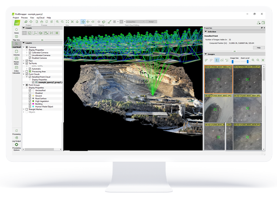
Pix4Dmapper, the professional photogrammetry software that transforms your images into accurate and georeferenced digital spatial models. Using a desktop computer or the Pix4D cloud platform, automatically convert images taken by drone, by hand, or by plane into highly precise 2D maps and 3D models. These outputs are customizable, timely, and complement a wide range of applications and software across industries.
Pix4Dmapper users have access to personal customer support and to a wealth of learning resources and trainings to help them become experts.
Industries:
- Surveying & mapping
- Mining
- Public safety
- Infrastructure
- Energy
- Telecommunications
Key Outputs: Survey-grade 3D Point Clouds, Digital Surface & Terrain Models, Orthomosaics, Volume Calculations, Contour Lines, 3D Textured Models, Index maps, and Thermal maps.