


Description
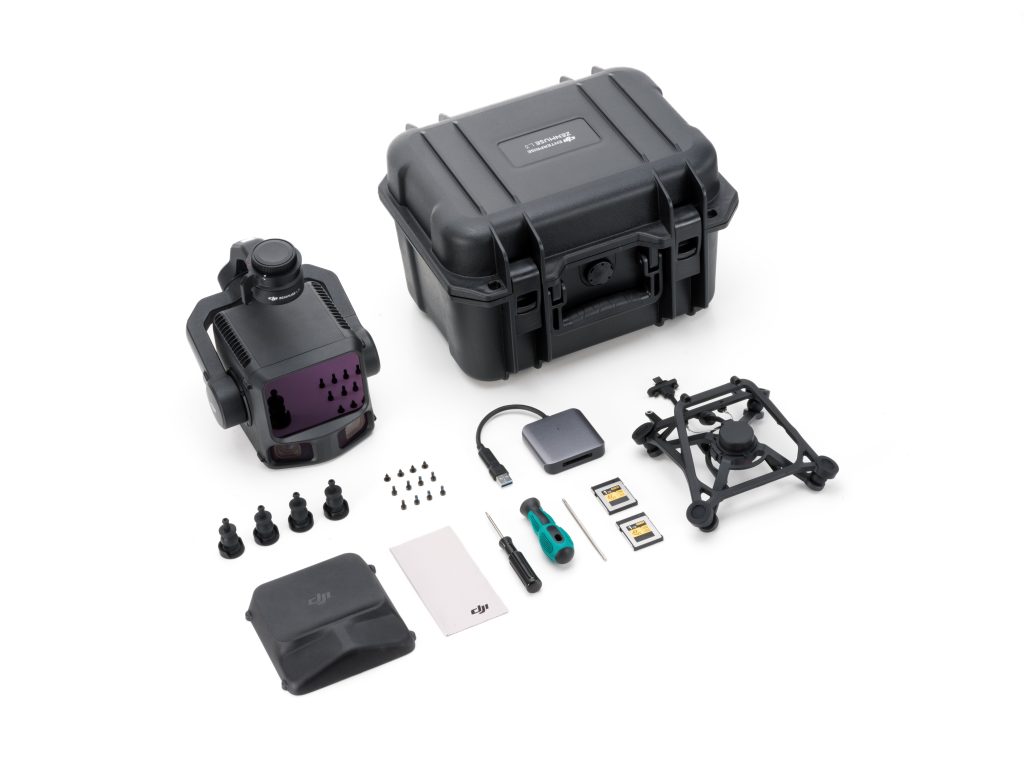
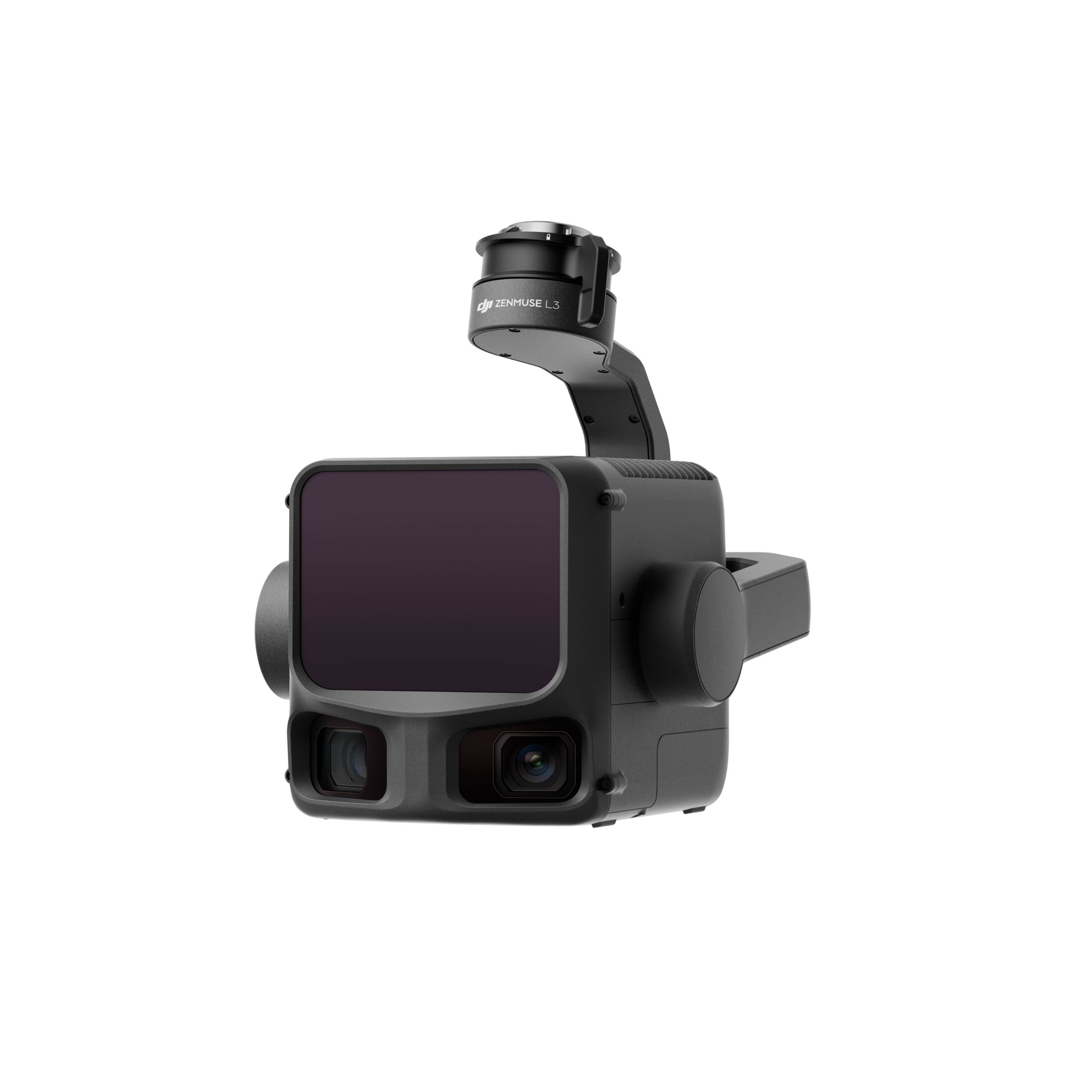
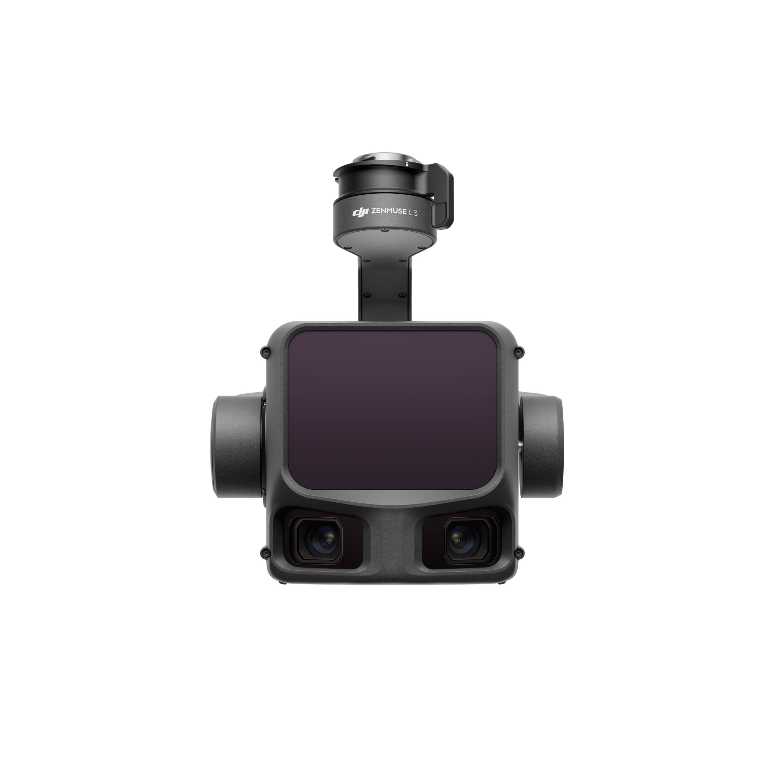
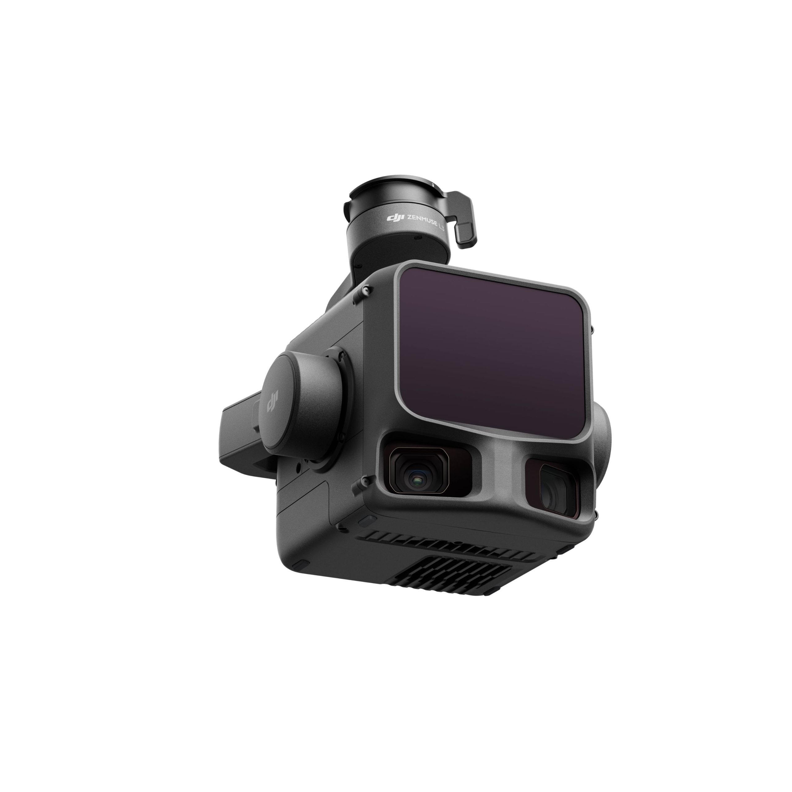
DJI Zenmuse L3: Revolutionizing Aerial LiDAR Technology
The world’s leader in civil drones and innovative camera technology has unveiled the DJI Zenmuse L3. This advanced aerial LiDAR system boasts a 1535nm long-range LiDAR that can reach distances of up to 950 meters, even on surfaces with only 10% reflectivity, while providing outstanding penetration capabilities.
Integrated LiDAR Solution
Focusing on enhanced precision and broader visibility, the Zenmuse L3 represents a significant advancement for DJI in long-range, high-accuracy LiDAR technology, poised to revolutionize the global geospatial industry. With this innovative product, DJI aims to broaden the use of high-end aerial surveying LiDAR technology across various enterprise applications, including:
- Topographic surveys
- Emergency response
- Historical conservation
- Energy infrastructure inspections
- Forestry
High-Accuracy 1535 nm LiDAR and Proprietary High-Accuracy System
The LiDAR system of the Zenmuse L3 boasts a detection range of 950 m with a pulse rate of 100 kHz, tested under ambient light conditions of 100 klx on objects with 10% reflectivity. This adjustable pulse rate provides flexibility in power output, allowing for optimal adaptation to a range of operational scenarios.
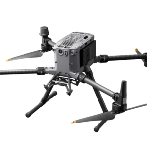
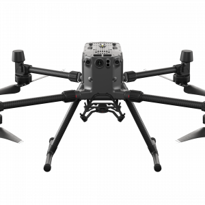
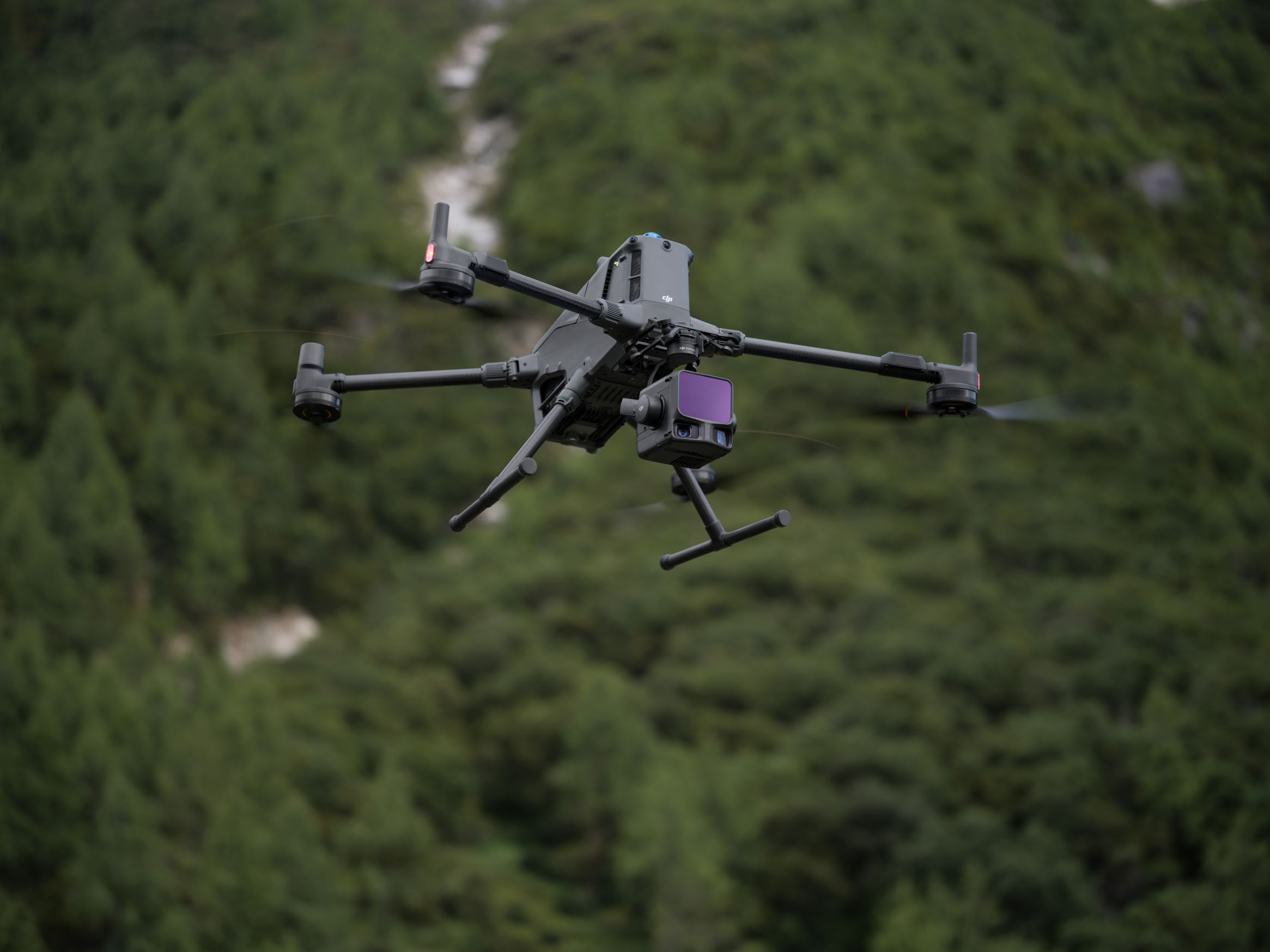
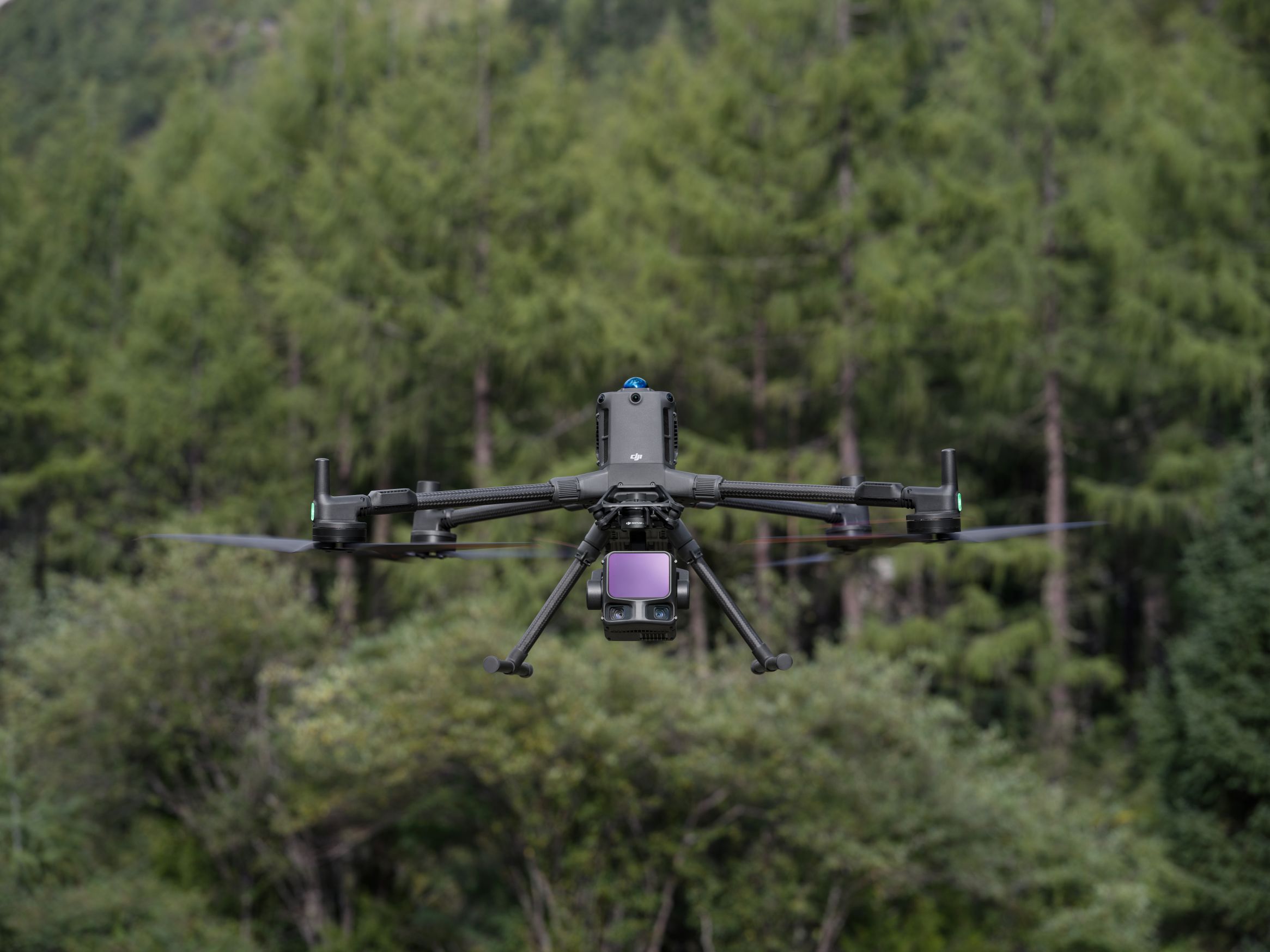
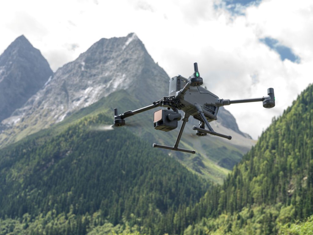
Perfect for DJI Matrice 400
The Zenmuse L3 incorporates a high-accuracy IMU system and integrates seamlessly with DJI Matrice 400 RTK drones
This combination delivers accurate and efficient data collection while enhancing in-the-field experiences with immediate readiness and high precision.
Improved detection range and safety
The L3’s 1535nm wavelength LiDAR boasts an impressive detection range of 950 meters, operating at a pulse rate of 100 kHz. This performance was tested in 100 klux ambient light conditions on objects with merely 10% reflectivity, achieving more than double the L2’s maximum range of 450 meters (1,476 feet). The adjustable pulse rate allows for a flexible power output ranging from 100 kHz to 2 MHz, making it suitable for various operational scenarios, from high-altitude wide-area mapping to low-altitude detailed capture.
DJI’s self-developed LiDAR ensures a ranging repeatability of 5 millimeters (0.2 inches) at 150 meters (492 feet) with microsecond-level time synchronization. The vertical accuracy is exceptional, reaching 3 centimeters (1.2 inches) at 120 meters (394 feet), 5 centimeters (2 inches) at 300 meters (984 feet), and 10 centimeters (3.9 inches) at a flight altitude of 500 meters (1,640 feet), making it suitable for mapping projects at scales of 1:500, 1:1000, and 1:2000.
With a laser beam divergence of just 0.25 milliradians, the spot size at any distance is approximately one-fifth that of the Zenmuse L2. This precision allows for the detection of smaller objects such as power lines and tree branches with remarkable accuracy.

High-Efficiency Coverage Capability
When mounted on the DJI Matrice 400, the L3 system can cover an impressive area of up to 10 square kilometers (or 3.9 square miles) in a single flight at a typical altitude of 300 meters (approximately 984 feet). This remarkable efficiency allows for a total daily coverage of up to 100 square kilometers (about 38.6 square miles), significantly boosting productivity for large-scale topographic surveys, emergency response mapping, and energy infrastructure inspections.
The system is designed to capture both LiDAR and RGB data simultaneously, enabling the generation of multiple mapping outputs from just one flight. This includes digital orthophoto maps and digital elevation models, with only a 20% LiDAR side overlap ratio required. Such multi-output functionality not only reduces flight time but also enhances both the geometric and visual accuracy of the final deliverables.