Drone Surveying Services
Precise Data. Swift Results. Informed Decisions.
Drone surveying has emerged as one of the most effective methods for obtaining accurate, high-resolution data across expansive or intricate environments. By integrating advanced sensors, GPS technology, and aerial imaging, drones provide survey-grade outcomes in a fraction of the time typically required by conventional ground techniques.
Why Opt for Drones in Surveying?
Unmatched Accuracy
State-of-the-art drone sensors—like RTK/PPK GPS, LiDAR, and high-resolution cameras—capture intricate measurements with remarkable precision. This capability enables teams to create dependable maps, models, and elevation data that foster informed planning and decision-making.
Swift Data Collection
A single drone flight can cover extensive areas in just minutes, significantly cutting down field time. Rapid data capture leads to faster project completion, fewer site interruptions, and more frequent progress monitoring.
Enhanced Safety
Drone surveying allows teams to avoid hazardous or hard-to-access locations, such as steep terrains, active construction sites, or unstable ground. Crews receive the necessary information without jeopardizing personnel safety.
Cost-Effective Solutions
By decreasing labor hours, lowering equipment requirements, and speeding up workflows, drone surveying yields substantial cost savings. Early issue detection also helps prevent costly rework or delays.
What We Offer
Our drone surveying services include:
- High-resolution orthomosaic maps
- Digital elevation models (DEMs)
- 3D terrain and site models
- Contour mapping
- Volumetric assessments (stockpiles, earthworks)
- Progress documentation and site analysis
Perfect for Various Industries
Drone surveying is beneficial for projects in:
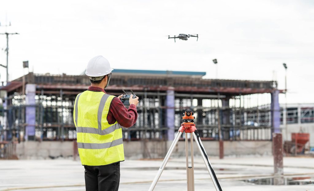
- Construction & Engineering – site planning, grading verification, progress tracking
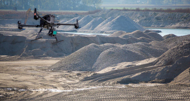
- Mining & Aggregates – stockpile volumes, pit mapping, resource management
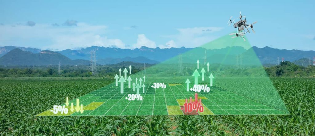
- Agriculture & Land Management – field mapping, crop analysis, drainage planning
- Environmental & Government – flood modeling, habitat assessment, land-use planning
- Real Estate & Development – property mapping, feasibility studies
A Superior Surveying Method
Drone surveying offers the speed, accuracy, and efficiency that modern projects require. Whether overseeing a construction site, planning land development, or tracking environmental changes, our aerial surveying solutions provide the dependable data you need to proceed with confidence.
